Highway 4, which bisects the Big Island and links the East Coast to the West Coast, has been a construction nightmare for years. The current focus is on the stretch near Cathedral Grove, and while this is an alternating one lane section on weekends, which might lead to a 40 minute wait, during the week it is another story. One day a week this section is closed entirely, which necessitates taking a gravel logging road which is one lane in places, adds hours to your trip and was not designed for regular travel. Not only does this bypass quite possibly void your auto insurance, locals have taken to posting “Google Maps is lying” signs claiming this section is not a bypass at all.
Needless to say, when faced with a highway closure on Thursday we extended our time in Tofino by a day (no hardship there) and prepared to time our departure on Friday to make the noon flush.
“The noon flush?” you say? Yes indeed. This is the term that has been coined to describe the allotted window of time on weekdays where you can pass through the road closure before work resumes. In our case, this meant breaking camp and leaving Tofino by 9:00 am to get to the choke point past Port Alberni where we waited, parked on Highway 4, for two and a half hours until we were able to be “flushed” at 12:30pm through to the east coast and Highway 19 north to Campbell River. If we had failed to make the 12:30 flush then we would have had to wait for the 5:30 pm flush, which I’m sure we all agree is a little late in the day for a first flush.

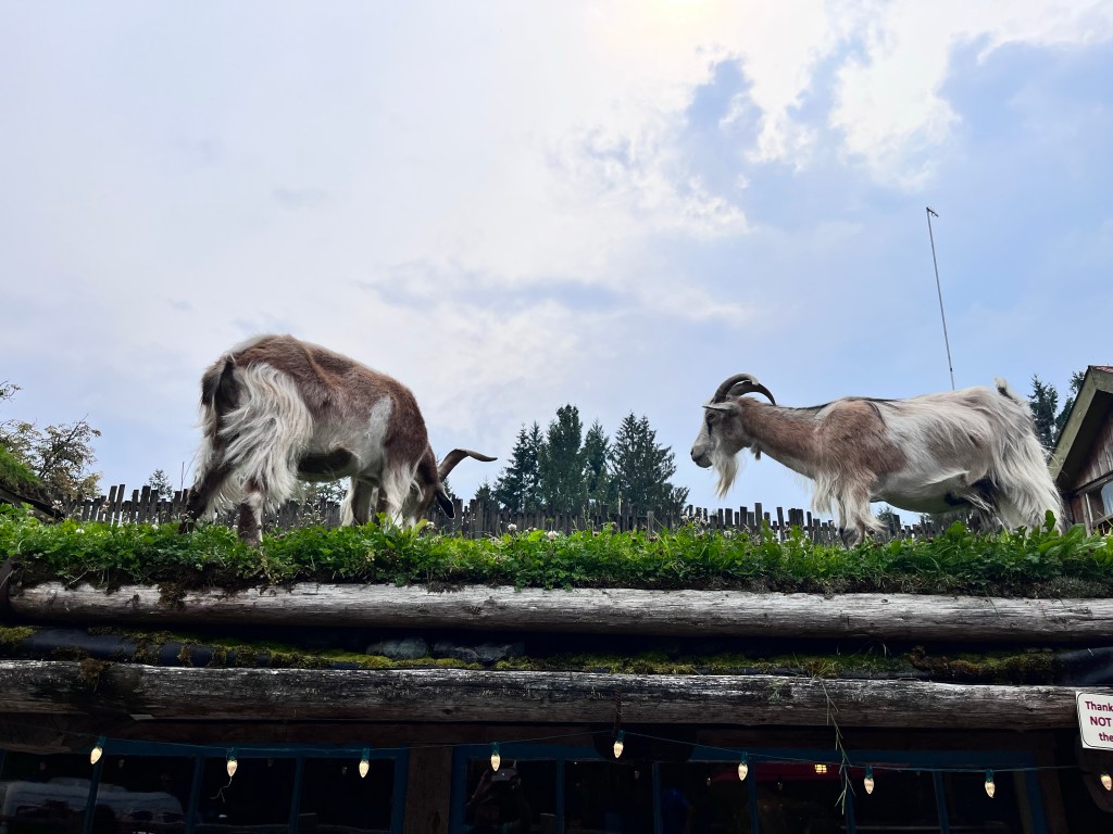
Flushed and ready to continue we had a brief pit stop at Goats on Roof before travelling north.
Highway 19 to Campbell River is a broad four lane highway and a deceptive precursor to heading south-west again on wildly winding roads, deep into the center of Vancouver Island and Strathcona Park.
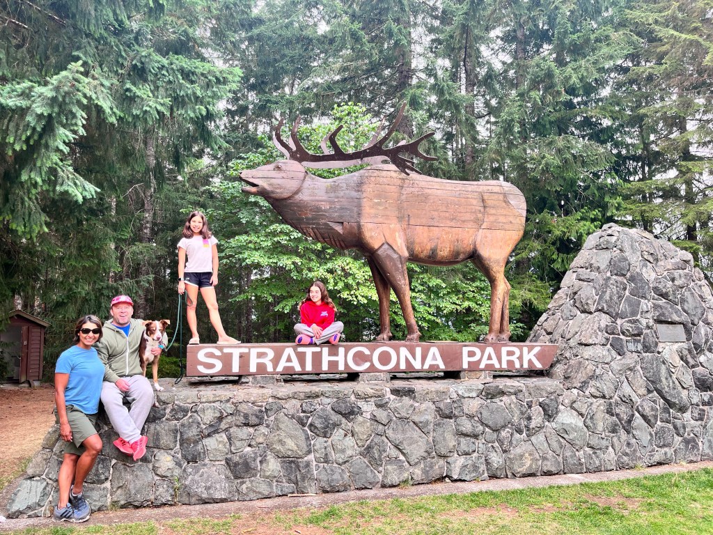
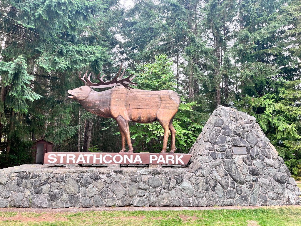
Strathcona park is huge, dwarfing all of the other parks on the island, and isolated. Even though it is relatively close to Tofino you have to cross the island and go up, over, and down to enter it by car.
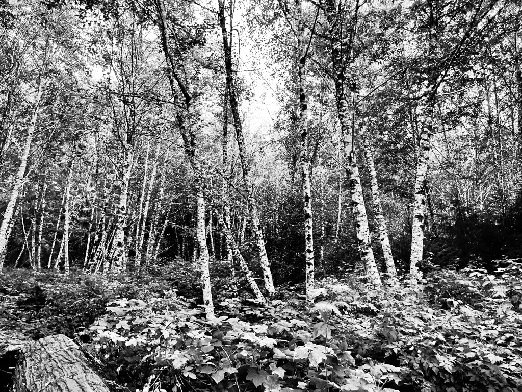
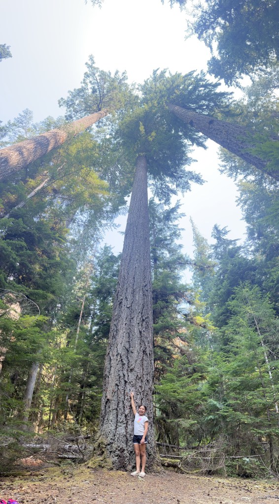
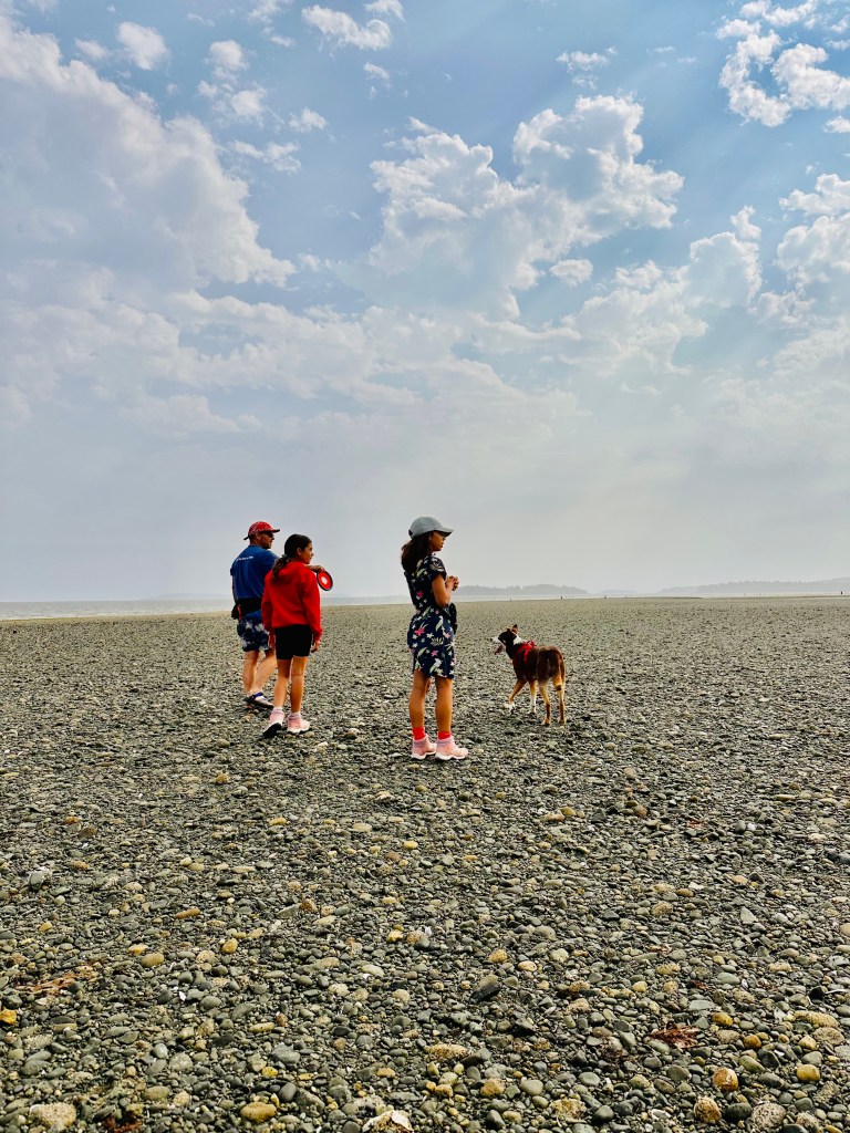
Strathcona is the oldest and original BC Provincial Park, having been established in 1911. It is a breathtaking place with soaring mountains, towering old growth forest and the glistening waters of 25 km long Buttle Lake. We were front country camping with a back country feel: no cell service, pit toilets, limited water access and private, spacious sites. The park is huge: approximately a quarter of a million hectares. There were actually two wildfires burning in the park that authorities had decided to let burn which gives you an idea of its size as there were no restrictions on visiting. That being said there was a fire ban and Stage 3 (out of 4) drought advisory, as there is across the island.
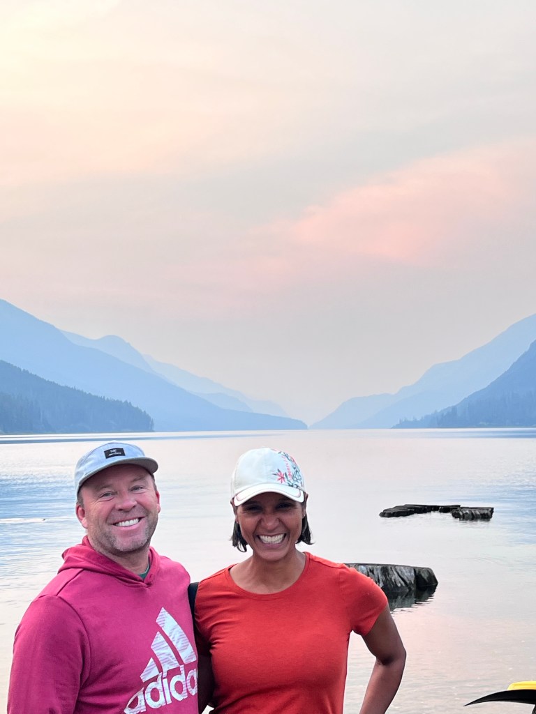
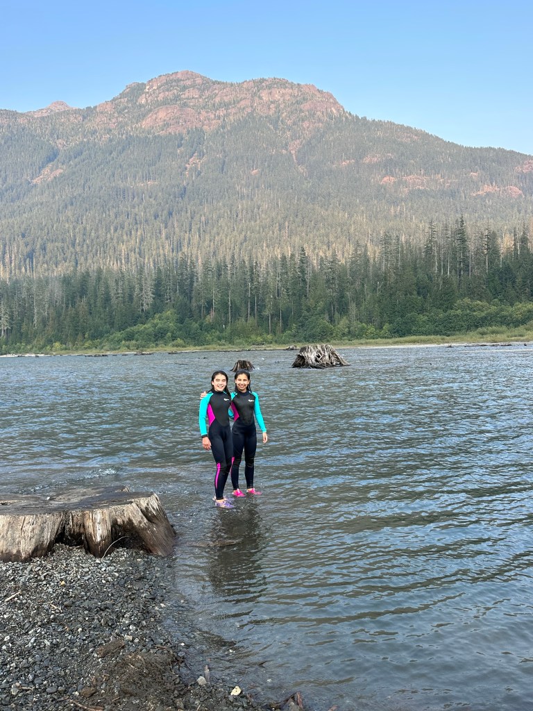
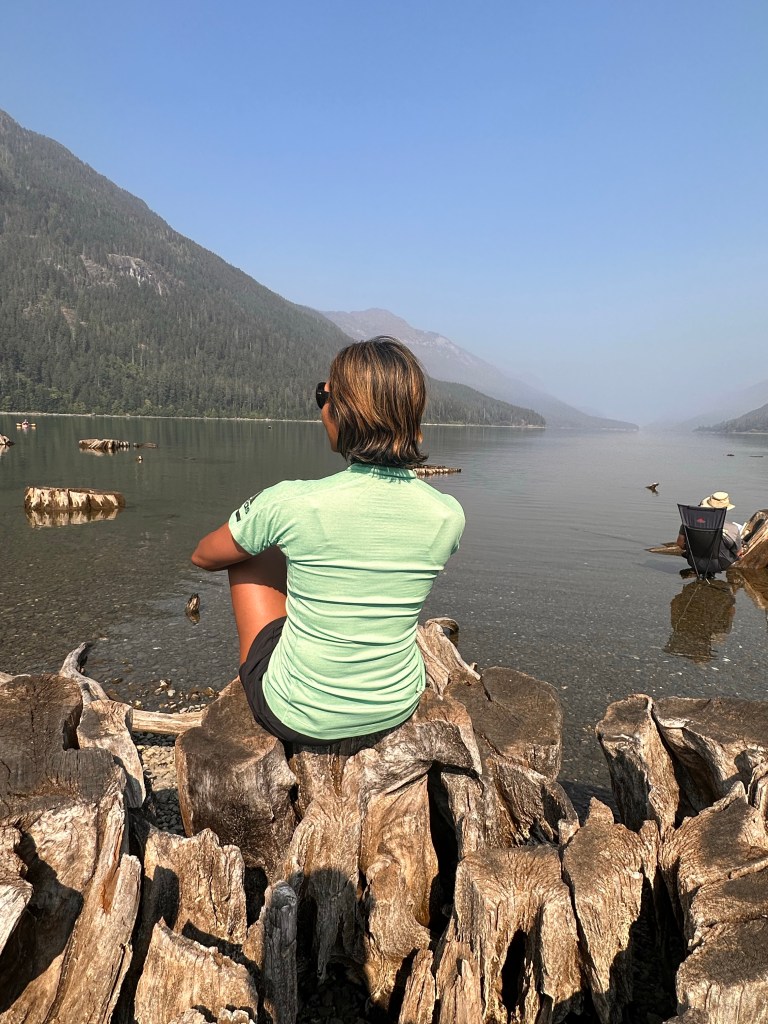
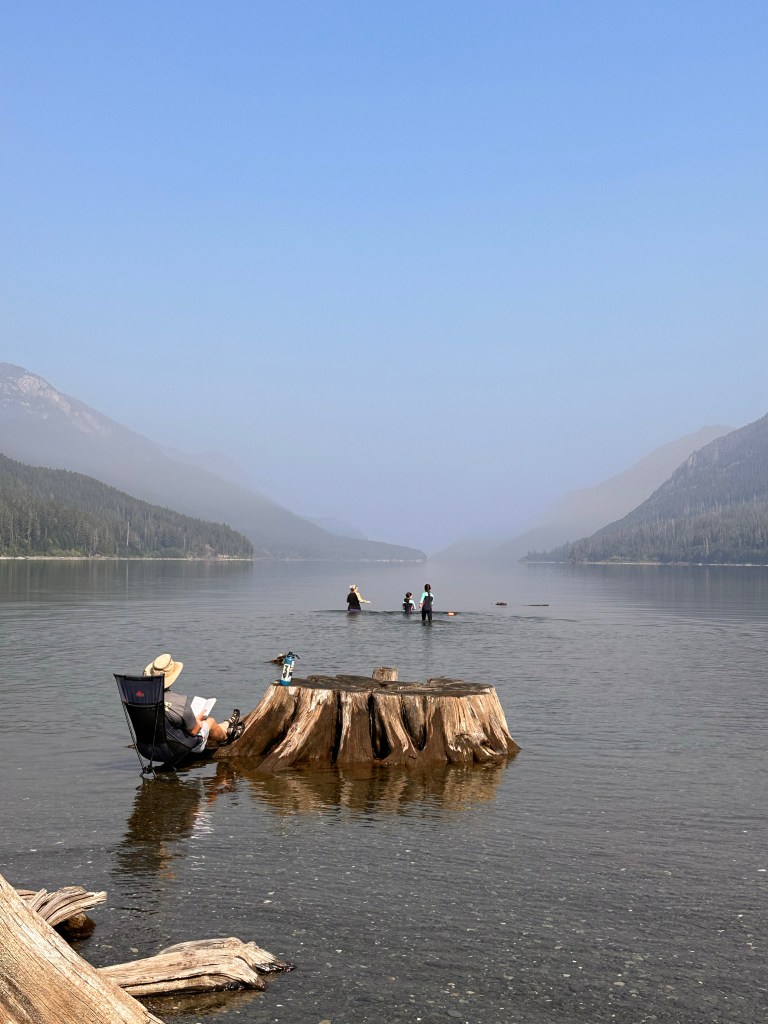
We had lost a day in Strathcona due to the flush issue and made the excellent decision to spend our time in the area where Ralph River runs into Buttle Lake. The views down the lake were absolutely gorgeous.
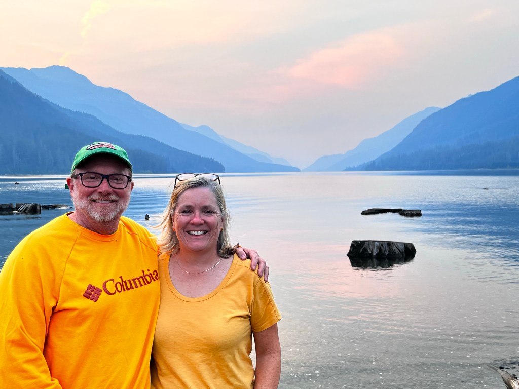
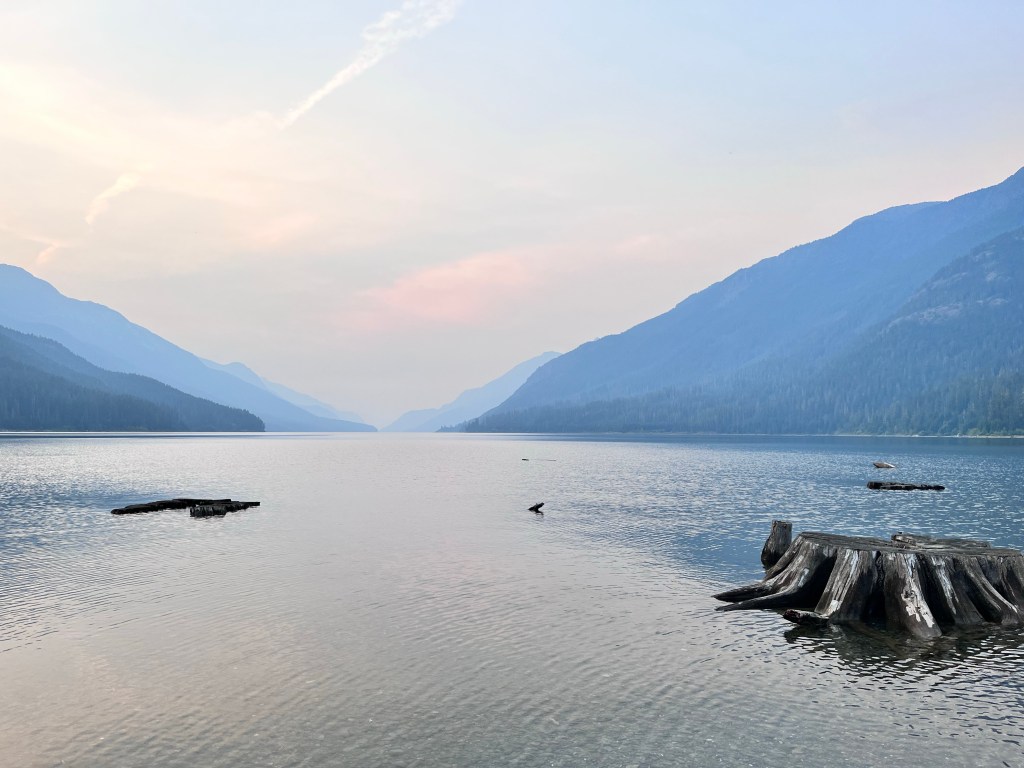
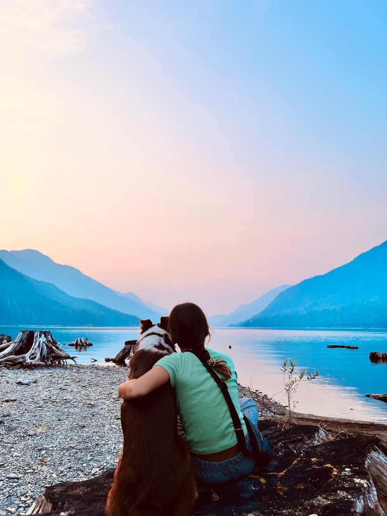
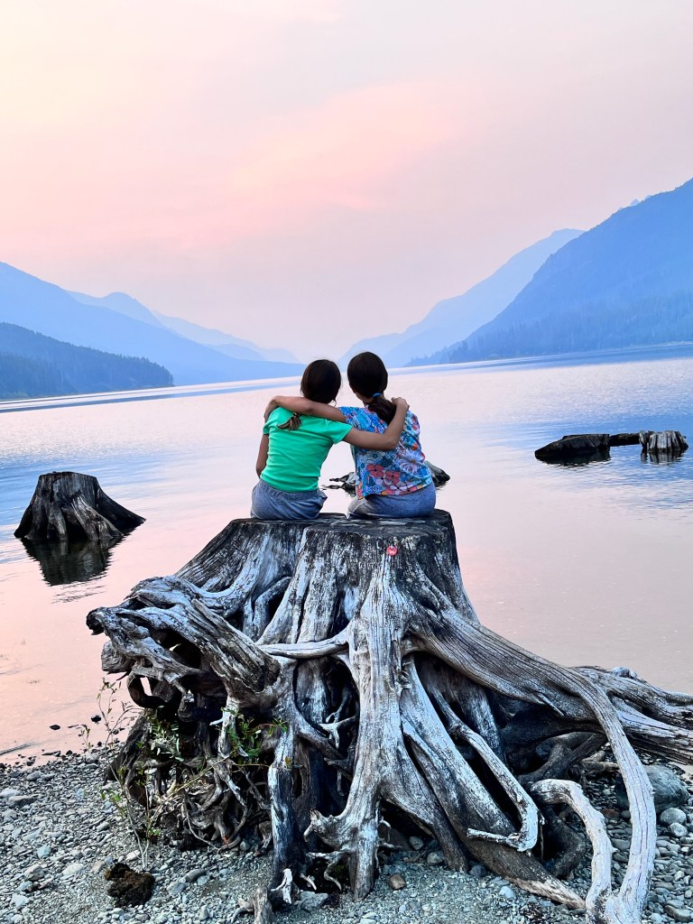
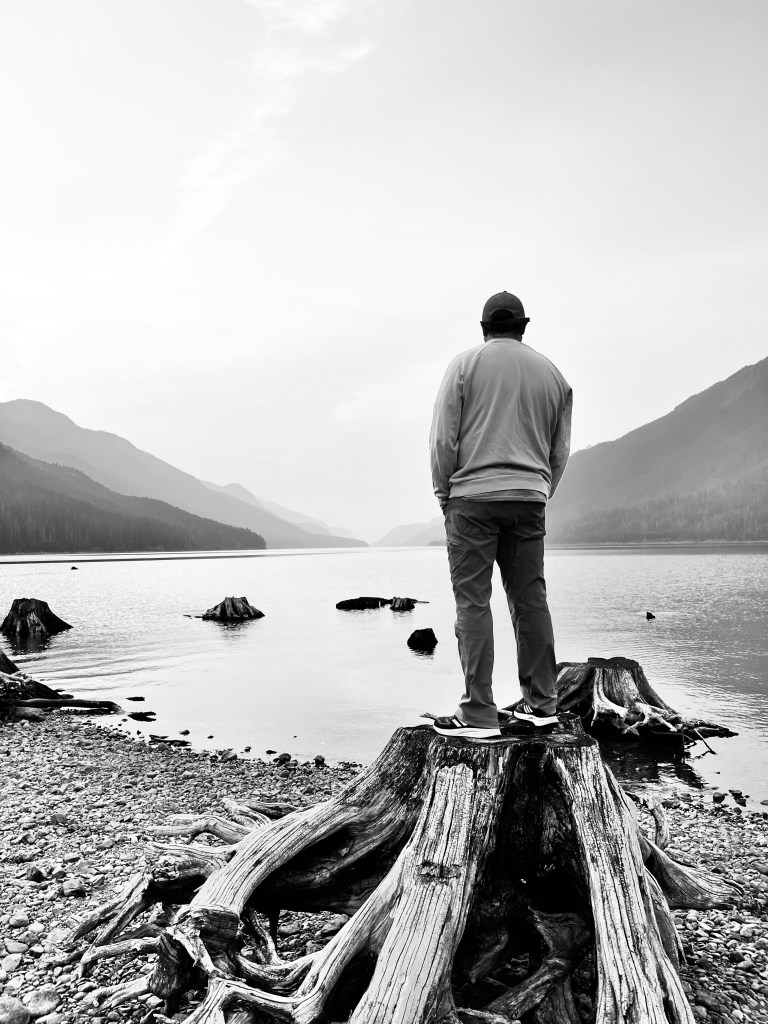
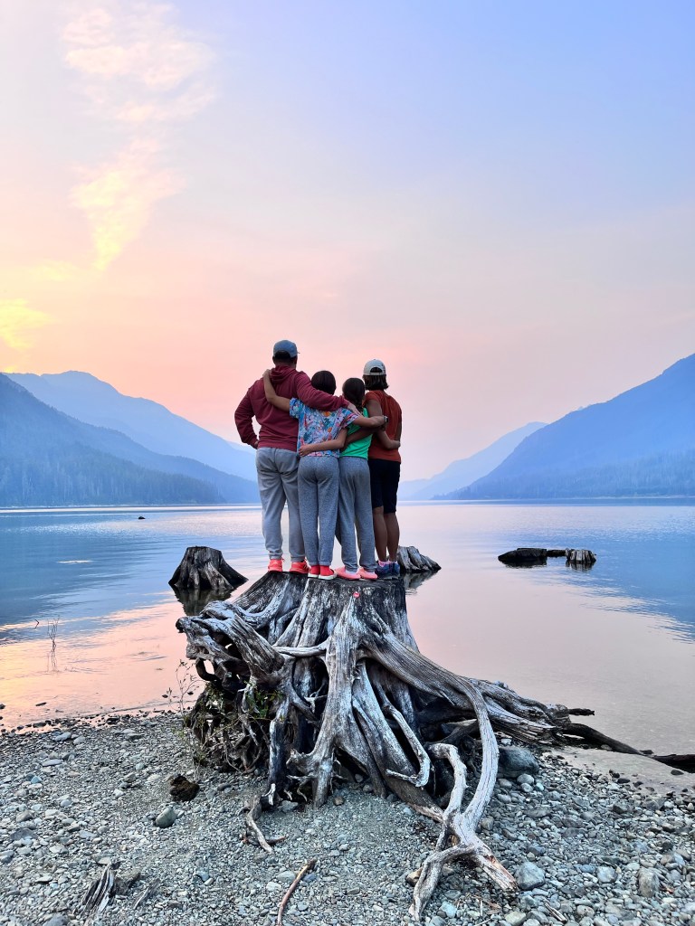
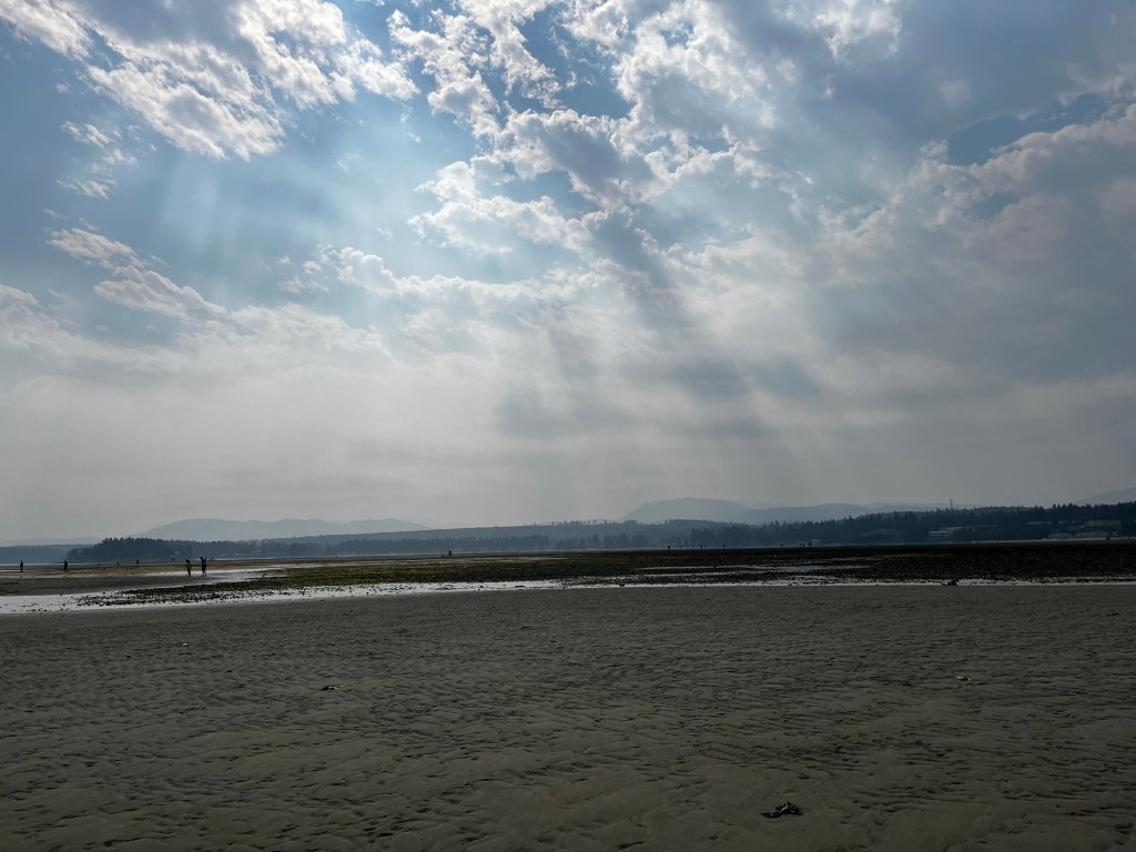
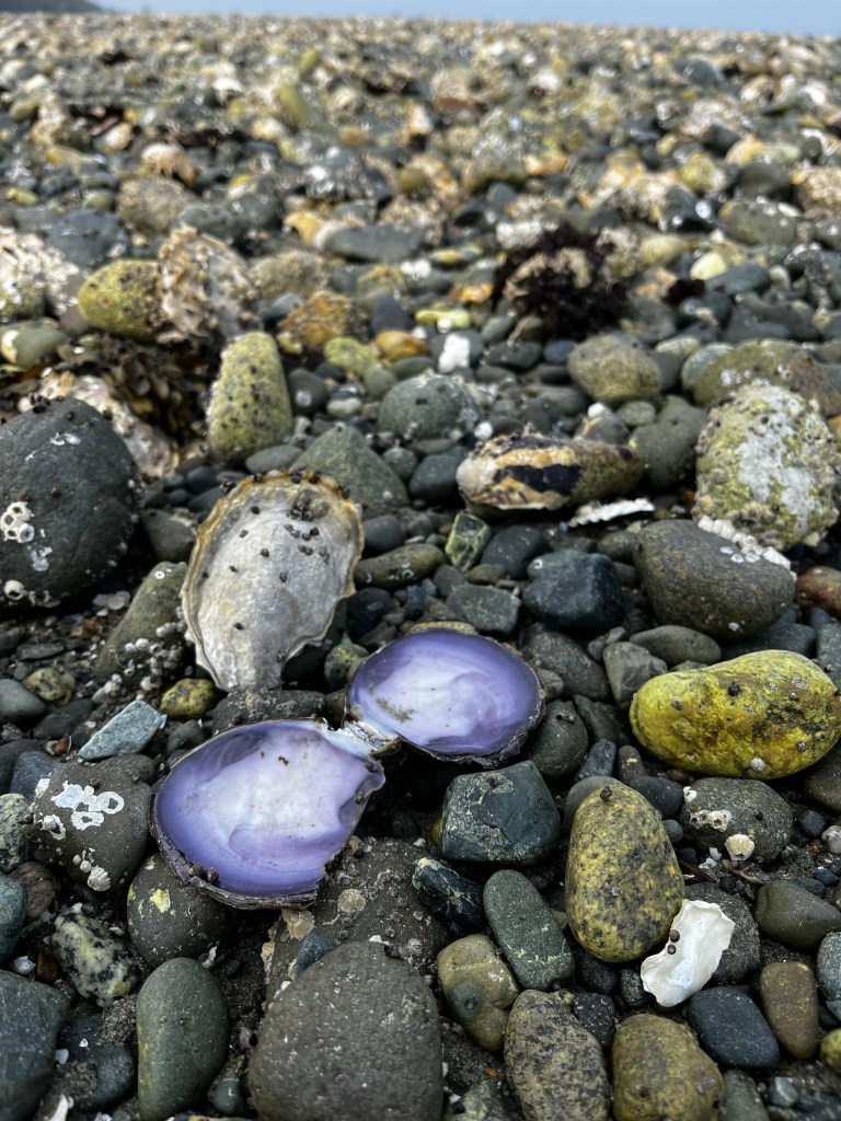
The next day was hazy as wildfire smoke from the Strathcona fires began to settle across the long valley occupied by Buttle Lake. We still had a great time exploring the alluvial beaches and shallows, including the spectacular cedar stumps along the shore, many of which were well over 6 feet in diameter.
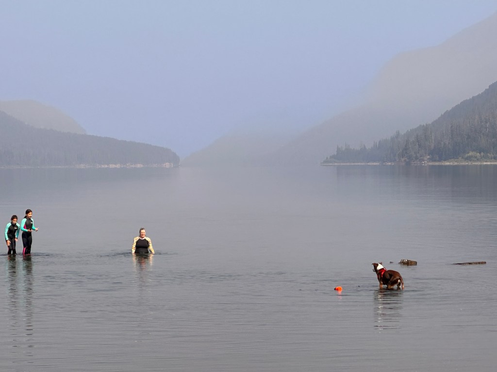
We enjoyed spending time with the soaring bald eagles, persistent woodpeckers and early morning owls, but could have done without the swarms of wasps in the toilets, the thieving Pacific Jays (blamed by one member of our group for the disappearance of a swimsuit!), and the multitudes of mice that successfully raided our vehicles on our last evening.
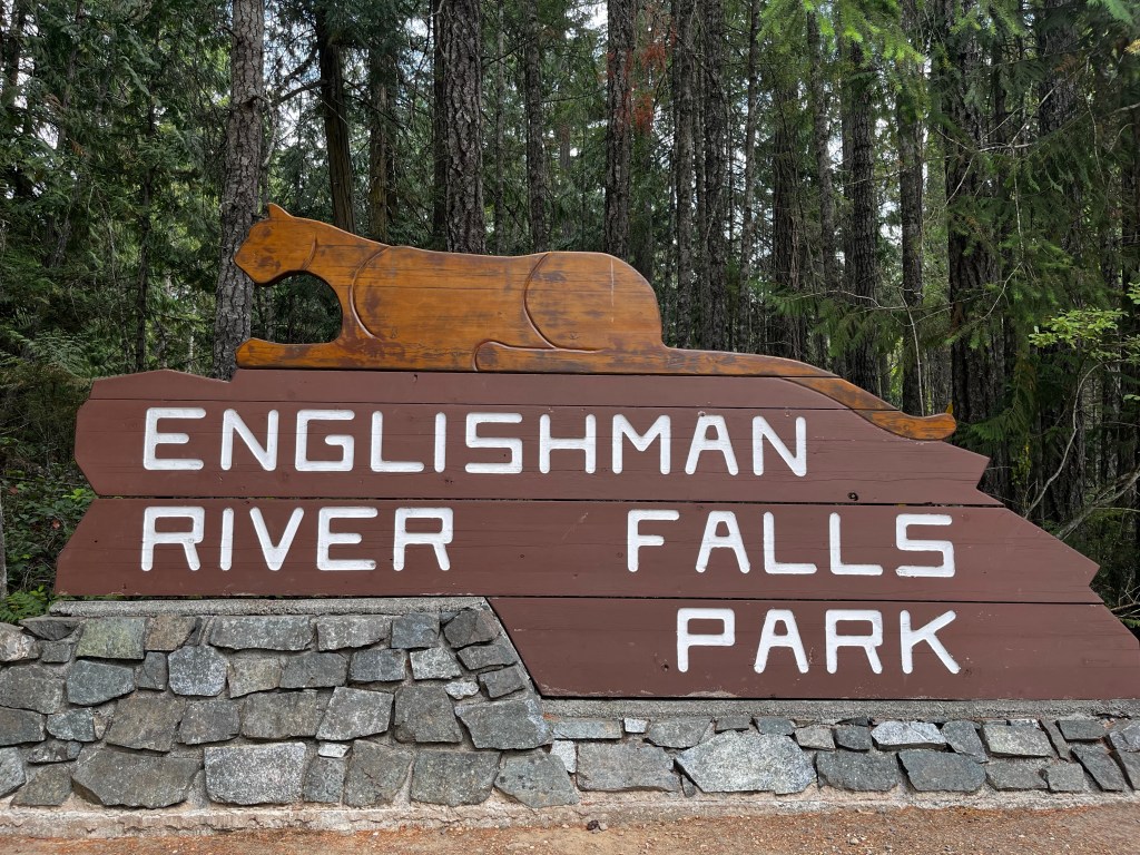
The trip north, east and south from Strathcona to Englishman River Provincial Park was shrouded in thick smoke for much of the way. By the time we got to Comax the haze had cleared somewhat, and after restocking supplies in Parksville to recover from the mouse invasion of the previous night, we set off on the short drive to the park.
These are the traditional territories of the Coast Salish People who apparently named the river to mark the discovery of a dead Englishman in its waters, which is an appropriate subversion of the typically colonial practice of naming places in Canada.
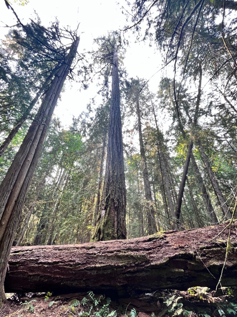
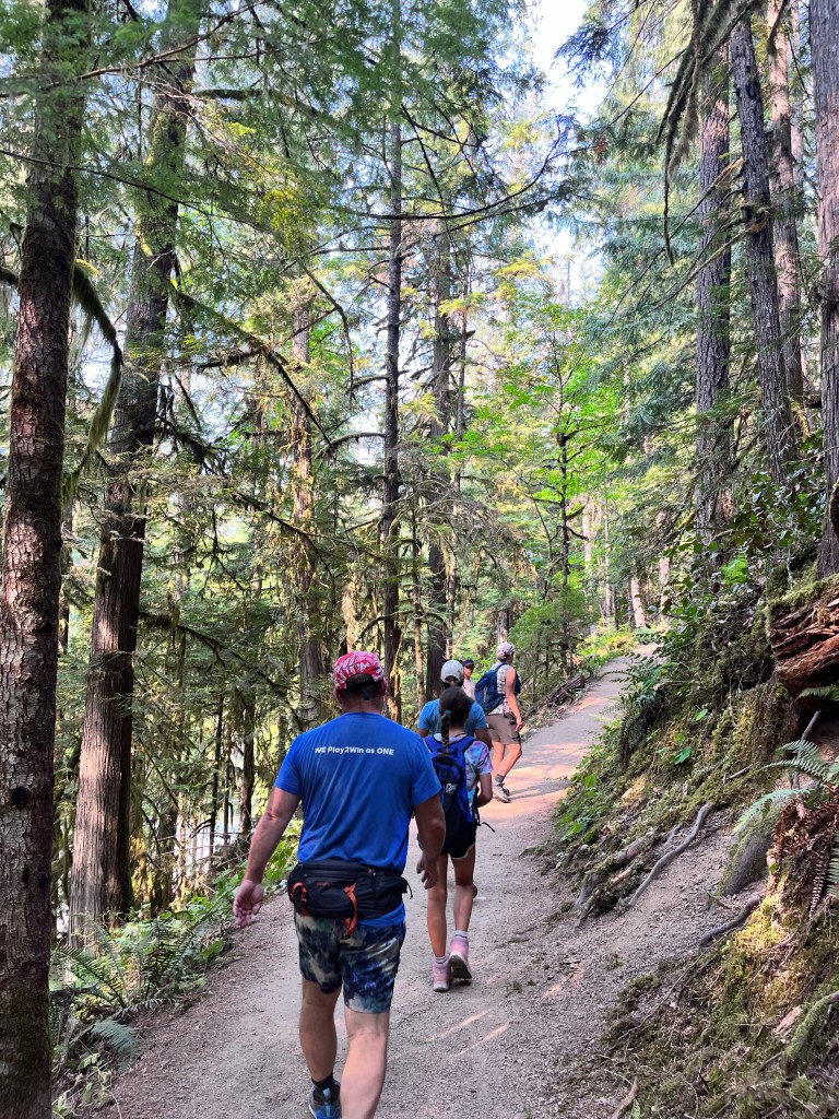
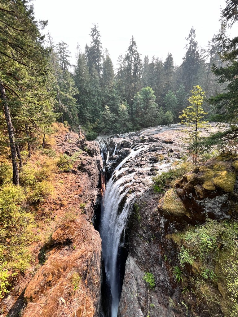
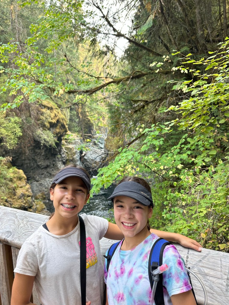
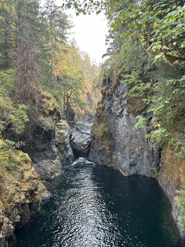
The park was lovely: more towering trees, spacious campsites and a lovely hour long loop hike down into the valley where the Englishman River cuts a dramatic path through a deep and narrow chasm on its way to the Strait of Georgia.


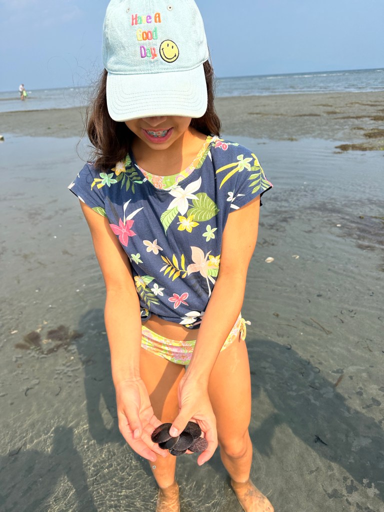
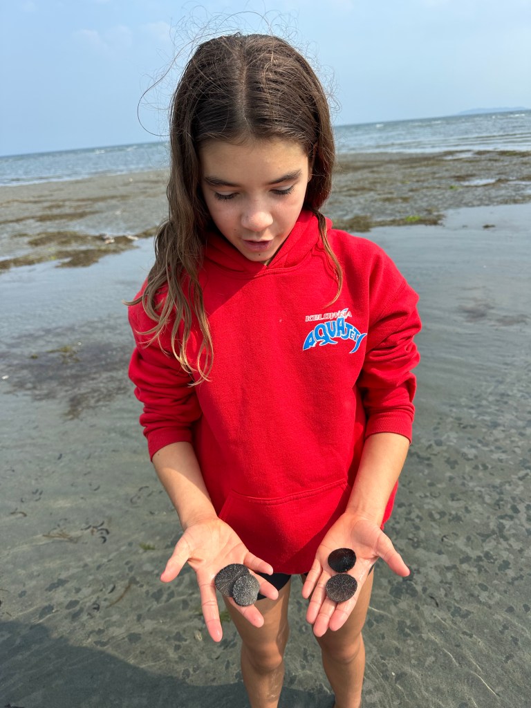
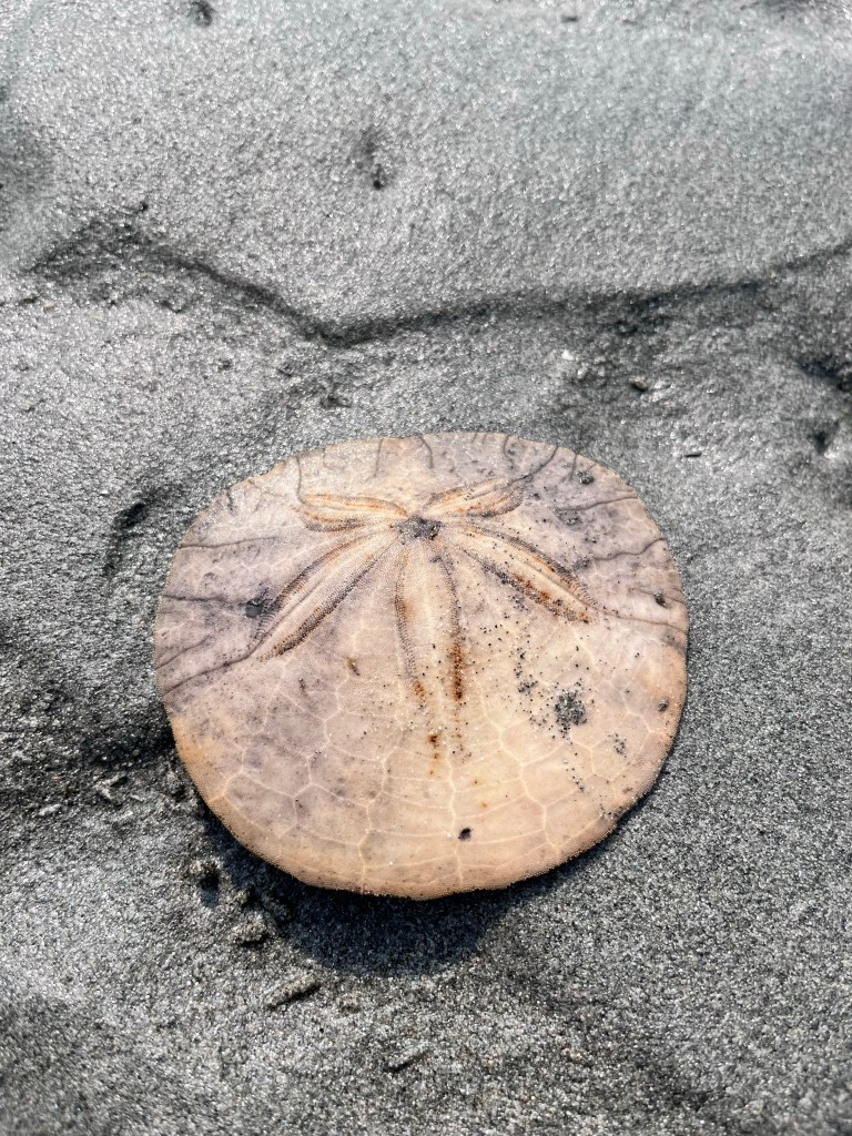
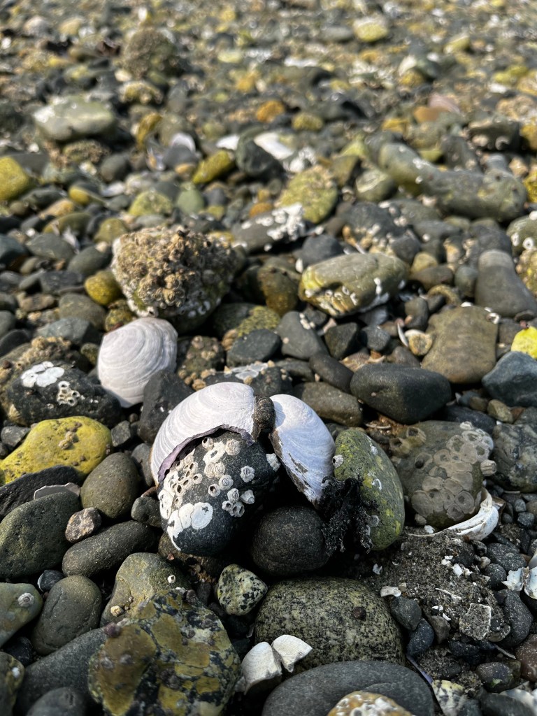
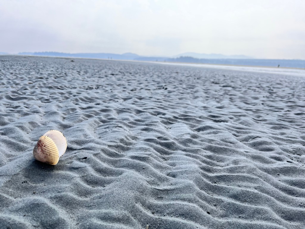
We woke up to another spectacular sunny day and decided to head to nearby Rathtrevor Provincial Park to enjoy its famous beach. At low tide the beach is enormous and a wonderful spot to explore tidal pools and spot unusual shells. We followed the “Leave nothing but footprints, take only photos” credo here which was challenging as there were dozens and dozens of beautiful and fully intact sand dollars all along the beach.


Back at camp we retreated to our tents to escape the onset of afternoon rain, which unexpectedly continued on and off through the night, our first extended stretch of rain on the trip. I’m sure it was welcomed by the locals.
We packed up wet tents and tarps the next morning and headed to the ferry in Nanaimo, on our way to Whistler and hot showers!
Update: we were not required to affix a car beanie to our Thule on this crossing. And we had a bonus orca sighting!

Leave a reply to Elaine Straw Cancel reply