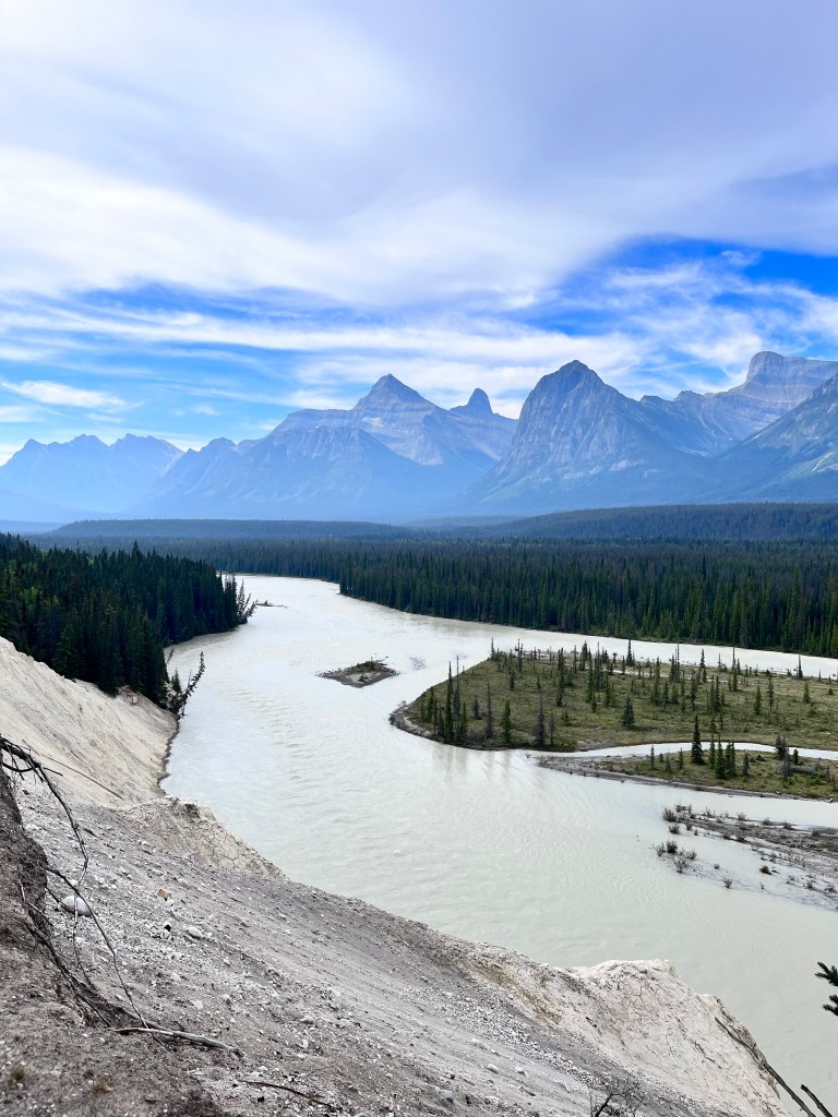
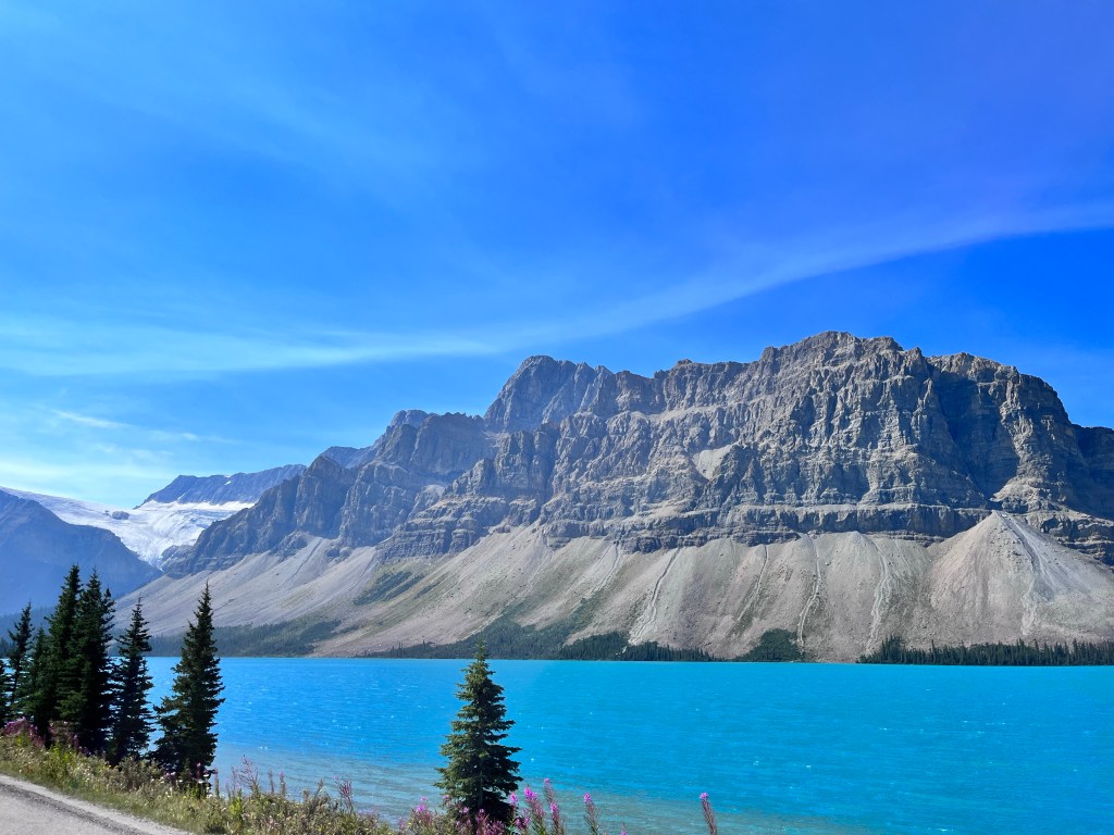
As we left Jasper the wildfire smoke from the previous day had cleared, and we were treated to a beautiful day for driving back down the Icefields Parkway towards Lake Louise and a scheduled visit to Morraine Lake. Robin took over the driving so I could have a turn on the parkway as a passenger and we hit a few viewpoints along the way. The views were different, but just as dramatic. And we did see mountain goats through our binoculars high up in the hills!

Again we met crowds of tourists, particularly at the roadside lookouts. Obviously these are popular places and I’m sure the revenue from National Park passes for Banff and Jasper are a significant contribution to the Parks Canada budget. We need folks to access natural places, value them, and drive investment in protecting more and more of these irreplaceable places. Sometimes, these places are loved too much, however. This is why the decision to shut down the road to Morraine Lake and require visitors to book a ride on the shuttle is probably a sign of things to come. It’s certainly not a bad decision. It allows more control of how many people access a site, cuts down on emissions and makes the experience more accessible for some travellers.
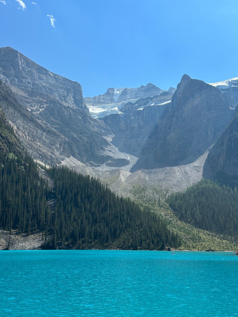
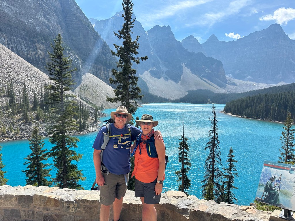
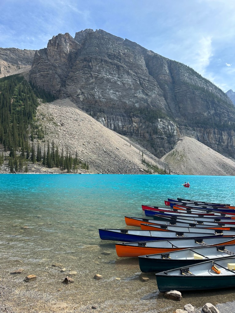
We pulled into the shuttle parking spot at the Lake Louise ski hill, grabbed our gear and caught our shuttle to Morraine Lake. By all accounts (and by that I mean, according to the internet) Morraine Lake is the most photographed lake in the world. Naturally, I left my phone in the car.
Fortunately, Robin is reliably “not that person”, and had brought her phone along.
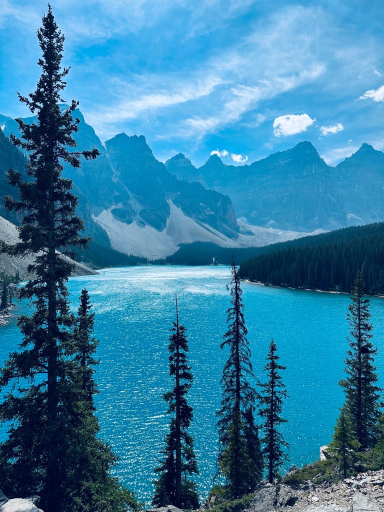
The bus disgorged its passengers into a touristy area in front of the lake which is packed with visitors. Fortunately, if you walk a kilometre up the lakeside trail you have the views to yourself. Thanks for that tip Glenn! It is a spectacular setting as the lake is surrounded by 10 distinctive peaks.


We continued on to Golden BC after our visit to Morraine Lake. Still enveloped in the cognitive haze that led to the phone incident, I drove about 20 minutes in the direction of Banff and Calgary before reversing course and heading back into the mountains and towards the Continental Divide and British Columbia.
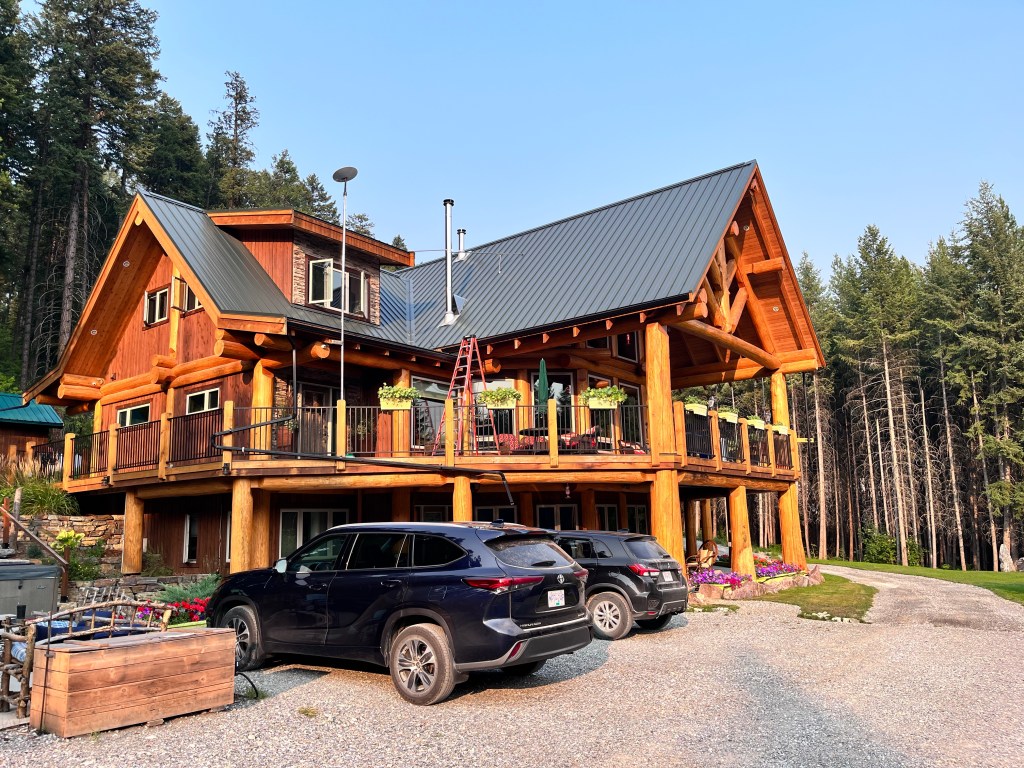
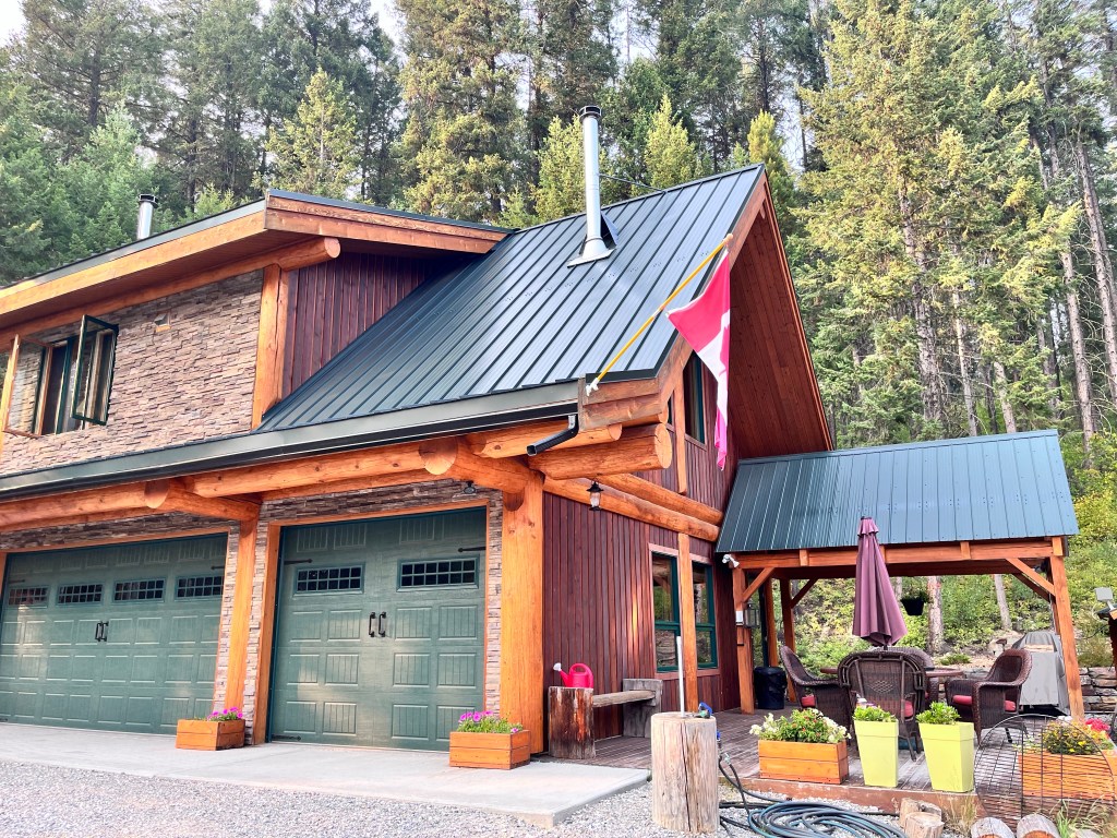
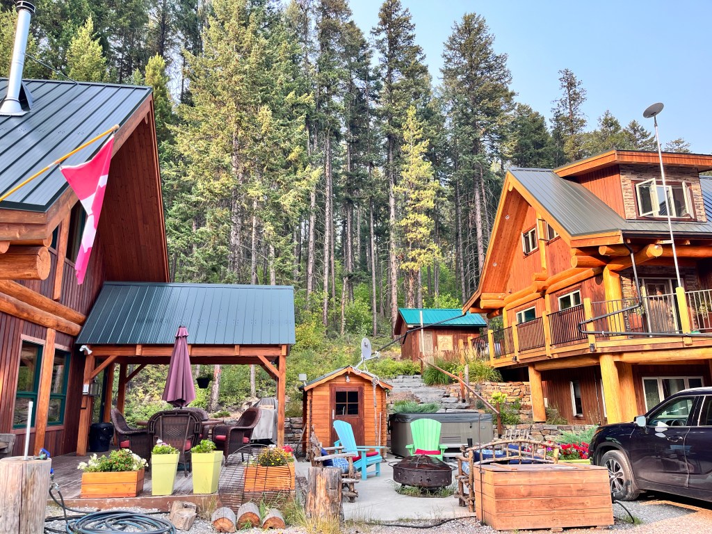
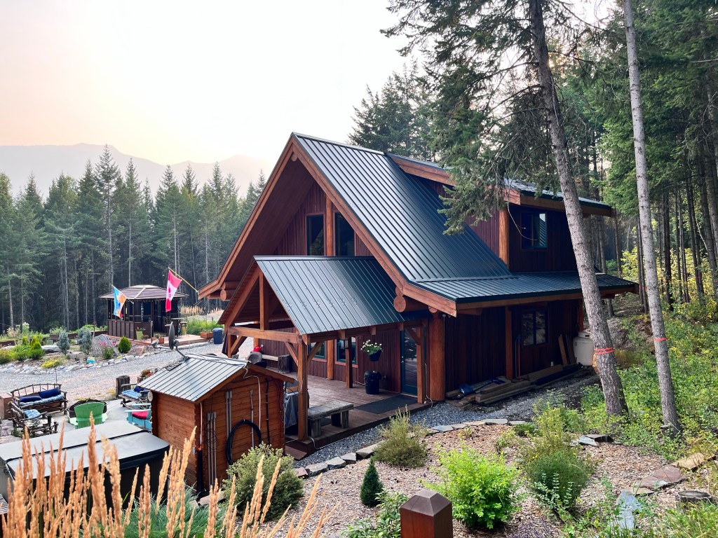
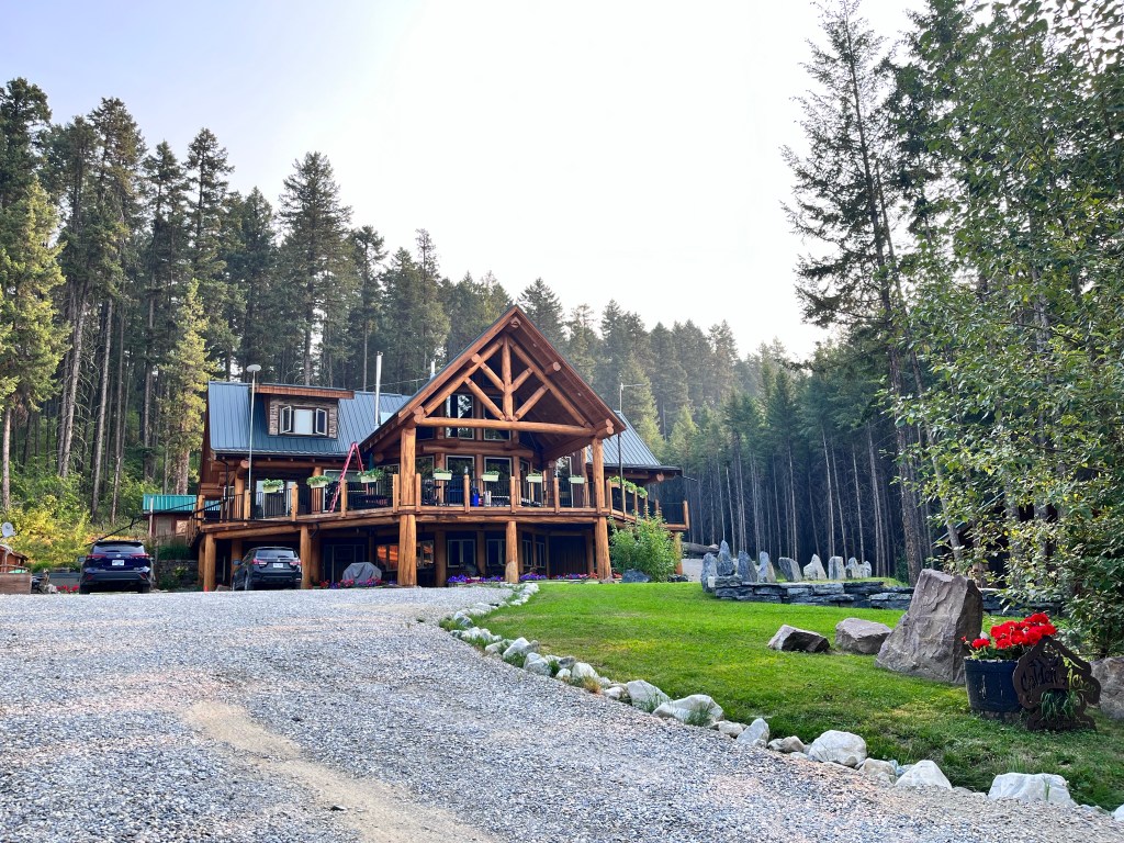
We were staying at a spectacular B&B about 20 minutes south east of Golden called Golden Acres Mountain Lodge. It is not a place you drop into: there is no roadside signage other than warning signs about private property. However our hosts Bruce and Cathy were lovely and we settled in for a shower and hot meal and made plans to hike the ridges at the top of Kicking Horse mountain the next day.
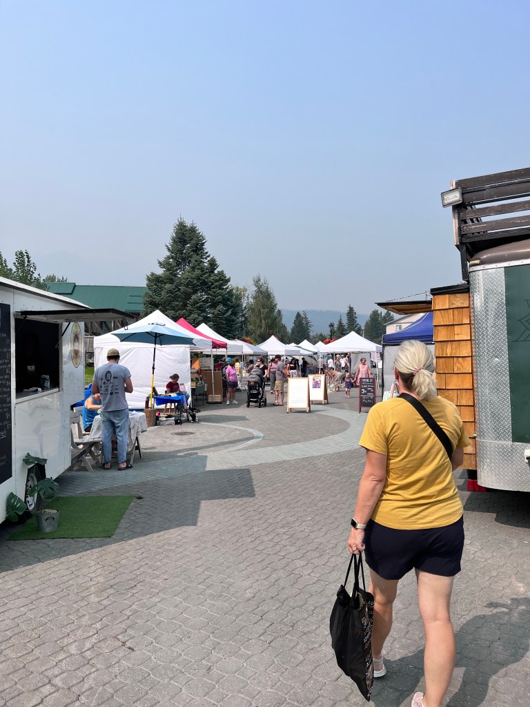
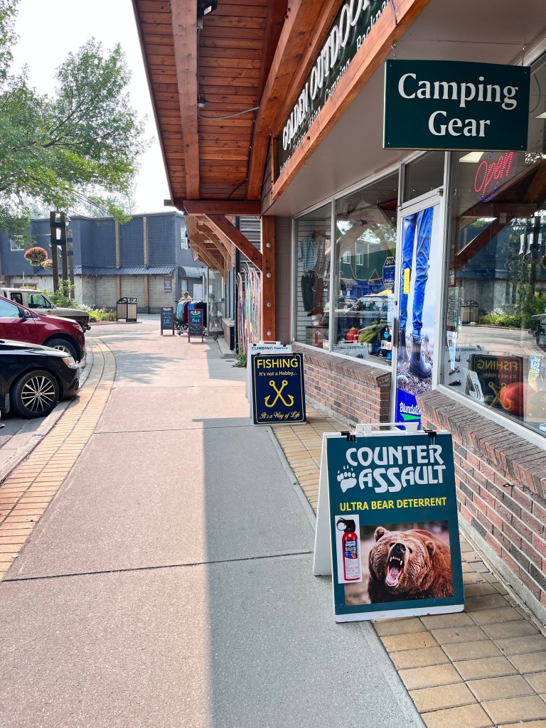
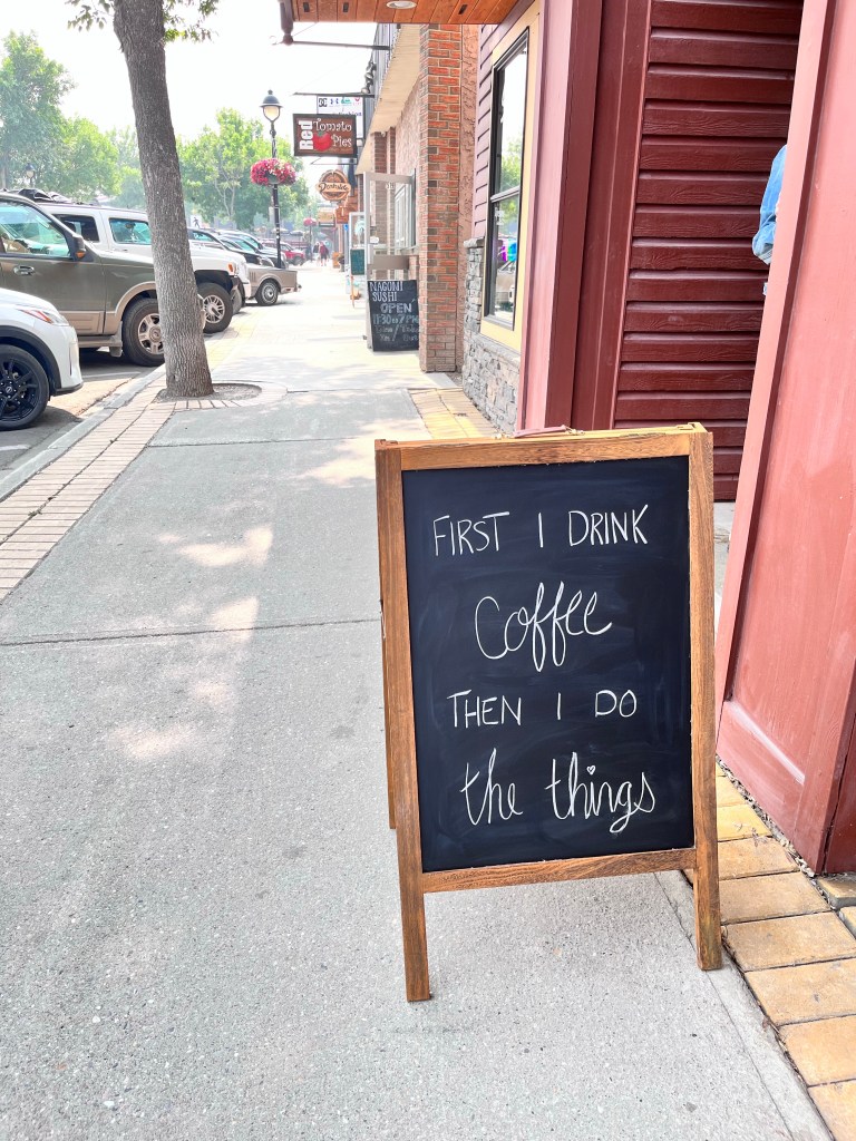
Wednesday morning brought dense wildfire smoke, to the point where we couldn’t see the mountains we hoped to visit. Plan B was enacted and we spent part of the day poking around downtown Golden, doing some shopping and enjoying the local food scene. It was actually a well needed break.

We headed back to the B&B to freeze some food and restock our cooler for the next leg of the trip to Kelowna and onwards to Vancouver Island. The plan was to make a visit to the Rogers Pass Visitor Centre and Glacier National Park on the way, haze permitting.
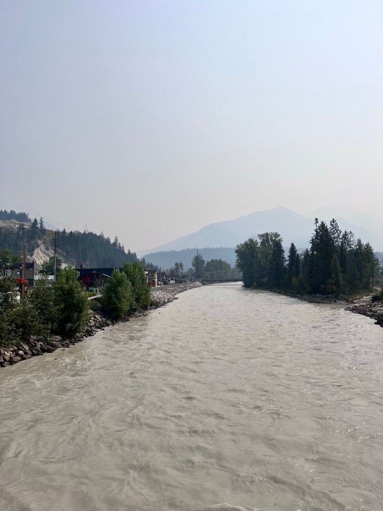
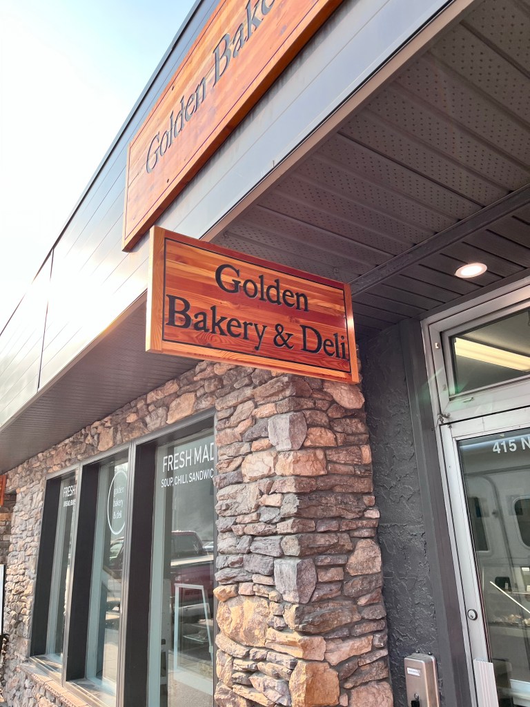
The next day was just as hazy in Golden. We grabbed breakfast and sandwiches for lunch on the trail from a local bakery and headed off along Highway 1.
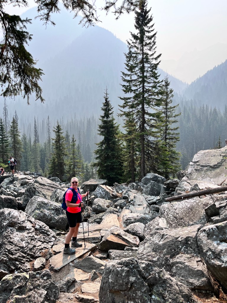
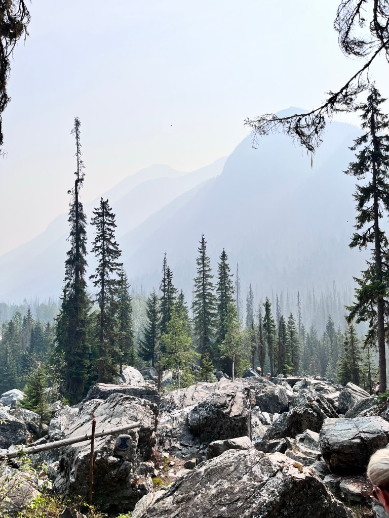
We had done this drive in November when we visited Banff from Kelowna. The inscription on the BC license plate certainly rang true: “Beautiful British Columbia”. On this trip through the famous Rogers Pass the addendum “Please take our word for it” should apply. The mountains were shrouded in haze for most of the trip.
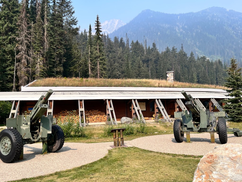
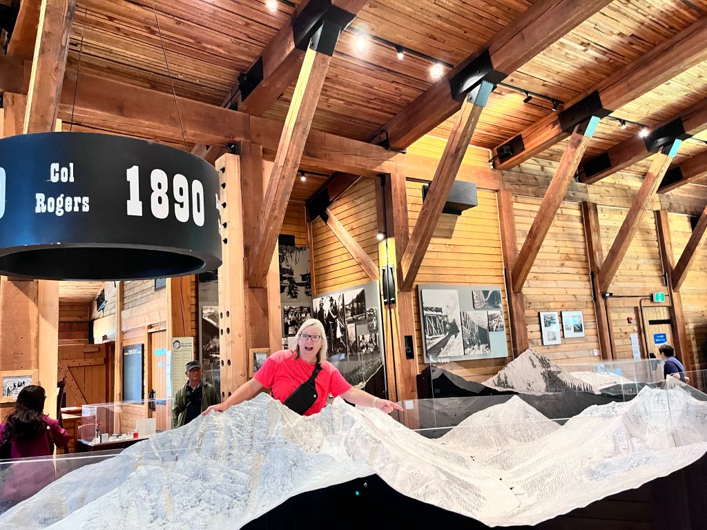
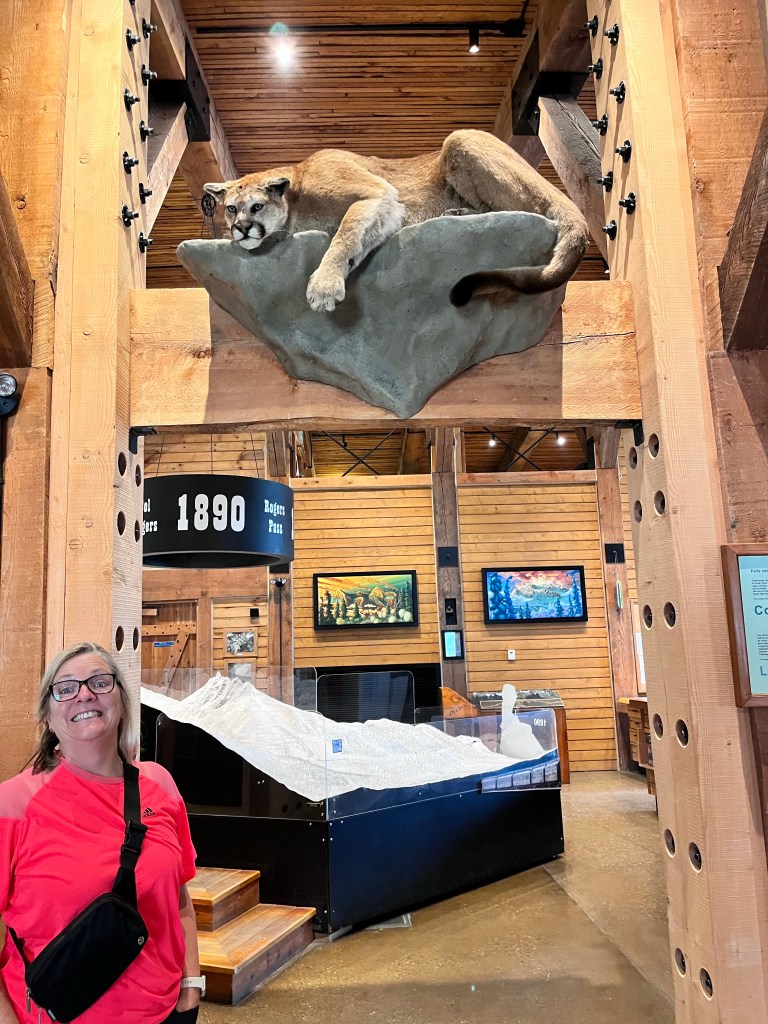
We stopped at the Rogers Pass Discovery Centre and would highly recommend it. It’s a small museum, free with your park pass, and focuses on the construction of both the railway and the highway through this formidable landscape. There was also a short movie on the partnership between the military and Parks Canada to monitor avalanche conditions and fire shells into the mountains to trigger preemptive avalanches. We actually saw these in action on our drive last December! The building itself is in the shape of the snow sheds which cover the highway in spots where there is the highest risk of avalanches.
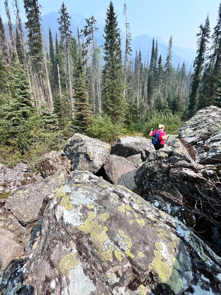
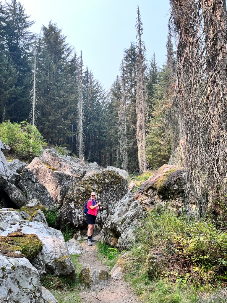
We had hoped to do some hiking in Glacial National Park but the conditions eliminated a lot of options (as did the number of trails closed due to grizzly bear activity). We did do a very short one, the Rockgarden trail, which gives you some perspective on the size of the rocks that can be dragged down the mountains by the power of avalanches.
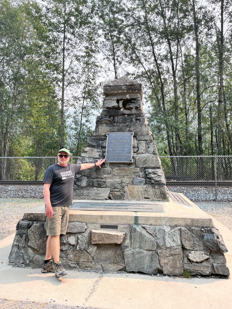
Our last stop before getting to Kelowna was Craigellachie, about 40km west of Revelstoke, where the Last Spike was driven by Donald Smith (or Lord Strathcona) on November 7, 1875. It marked an incredible engineering achievement and certainly carried the toll of hundreds of lives in its construction.
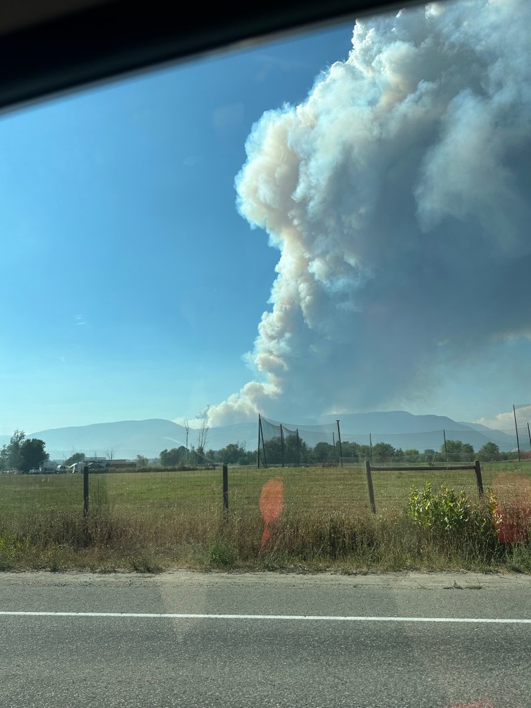
We arrived in Kelowna to active fires on the other side of Lake Okanagan in West Kelowna. The conditions were hot (37 degrees), dry and windy, ideal for stoking active wildfires. Where we are at Betty and Stew’s there is a relatively low risk as wildfires ranges here about 20 years ago and there is little in the way of combustible landscape in their area. However the billowing smoke and massive plumes of clouds are sobering.
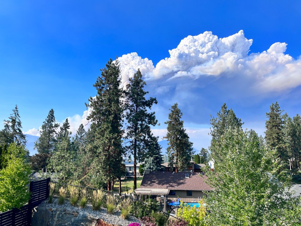
We are certainly thinking of folks in West Kelowna, who are in an active state of emergency, and hope that there is no loss of life and that property damage is limited. It is the summer of fire in Canada.

Leave a reply to Lynne Gallacher Cancel reply