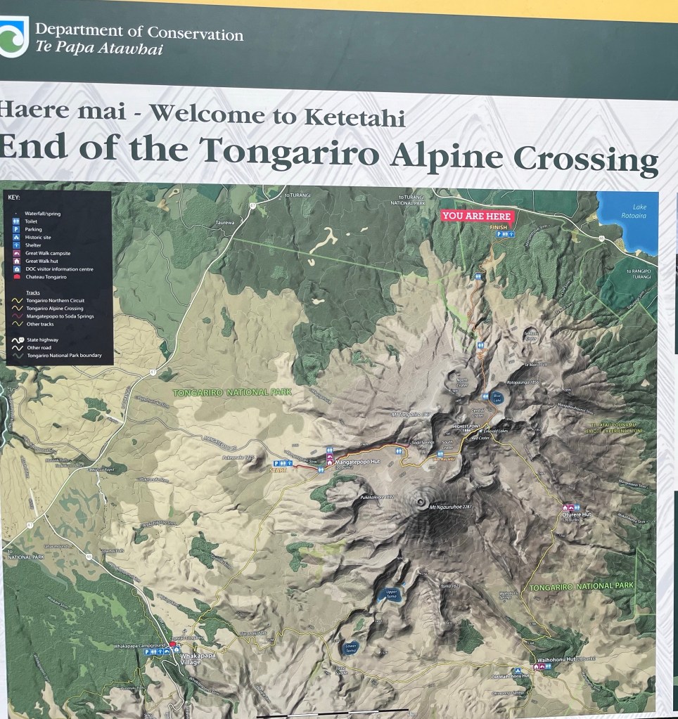
The Tongariro Alpine Crossing is considered one of the best hikes in New Zealand and one of the top day hikes anywhere. Over 20km and roughly 8 hours you cross volcanic terrain, barren desert, and dense forests while looking at otherworldly volcanoes, geysers, emerald lakes, hot springs and mountain streams. It is a jam packed hike.
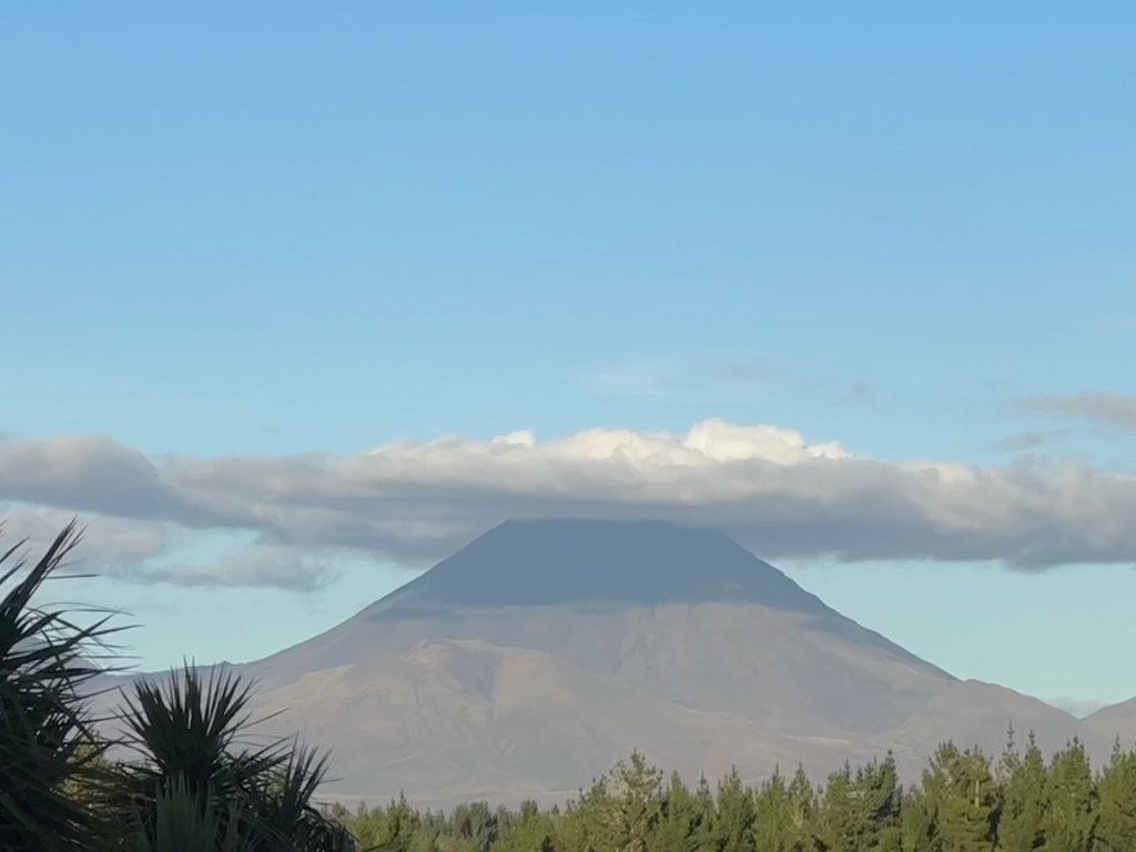
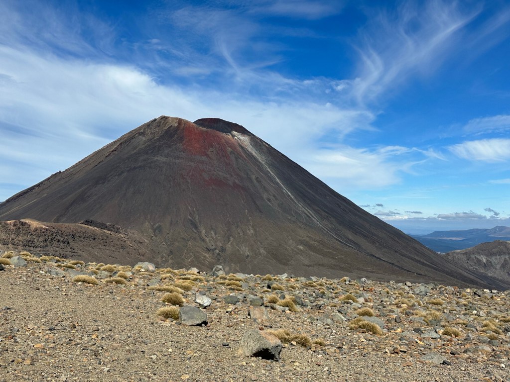
It is also famous for being a location for many of the scenes in Lord of the Rings, particularly those featuring Mordor. The hike features two mountains, Mount Tongariro and Mount Ngauruhoe. The later is actually a second cone of the former, and is probably most well known as a stand in for Mount Doom in Mordor. Both are active volcanoes.
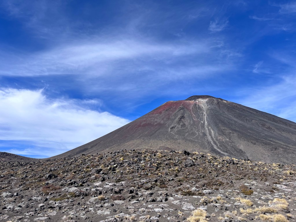
Here is a view of Mount Ngauruhoe as we approached the National Park looking appropriately “Mordory”.
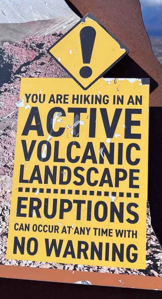
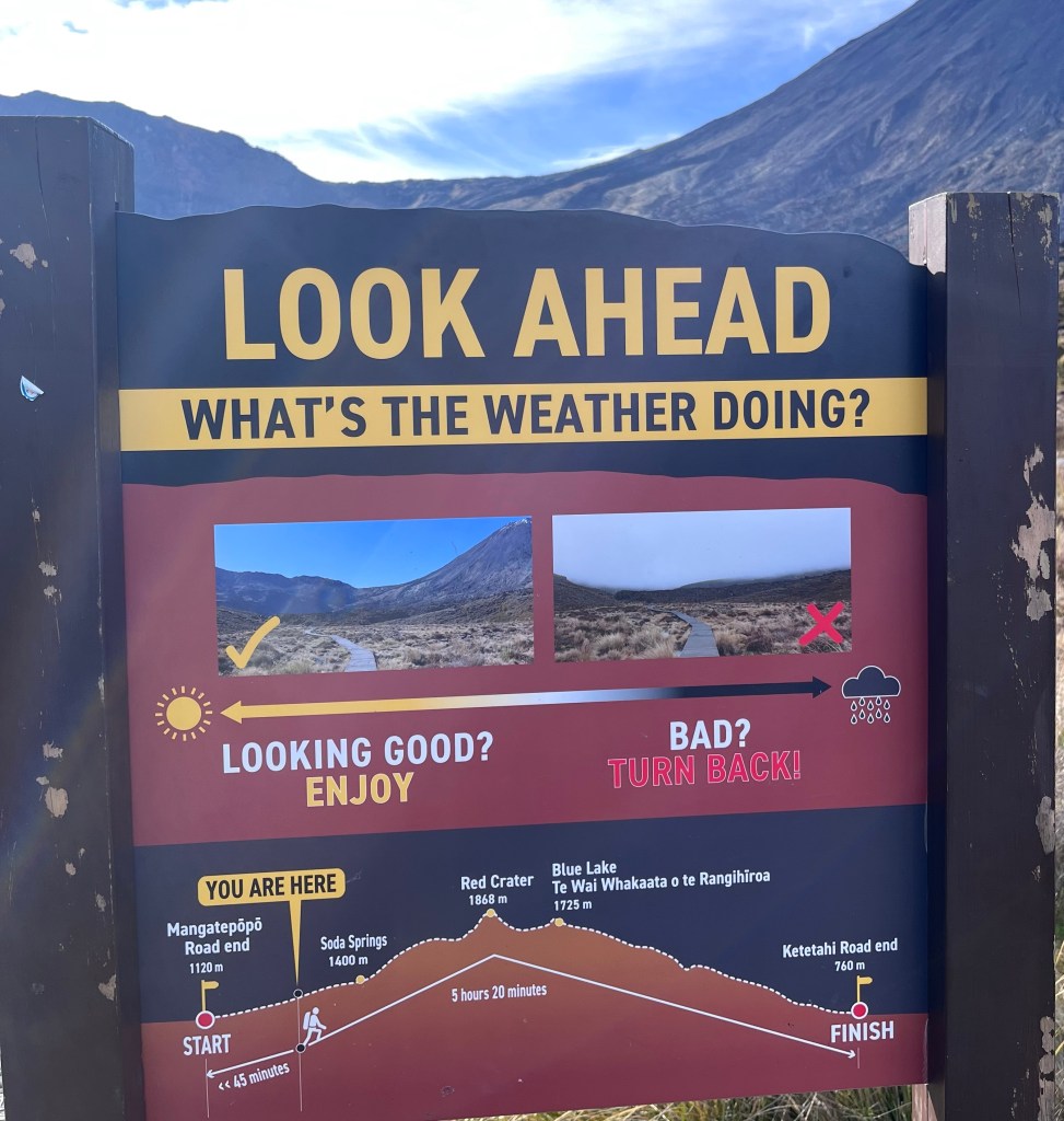
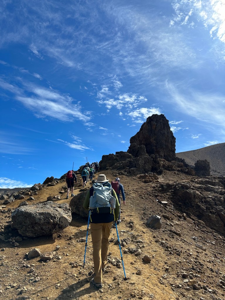
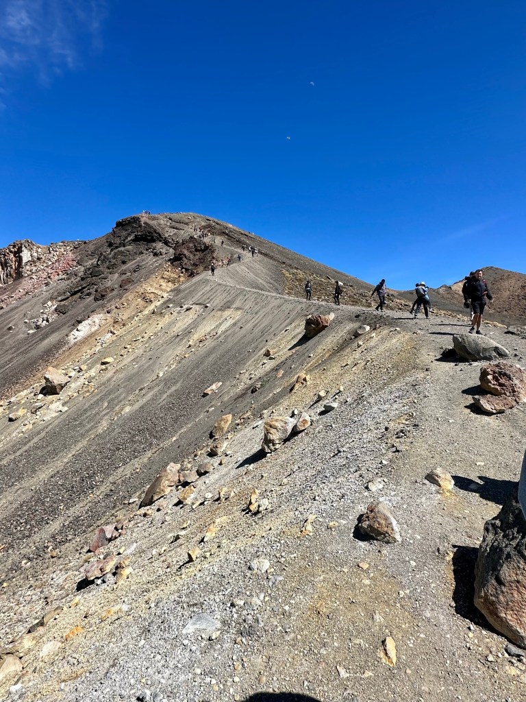
It is a serious hike. Not only is it long there are over 800 vertical metres to ascend and a really steep and long descent over loose rocks and gravel. On average there are two helicopter rescues a week. One of the local guides told me that they had to change the name of the trail from Tongariro Crossing to Tongariro Alpine Crossing to emphasize that there was significant climbing involved!
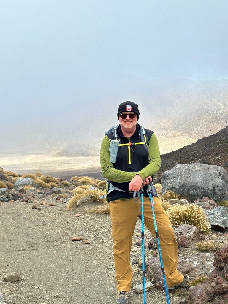
We were a little anxious about how the day would go as 2022 wasn’t a great year for either of us in terms of fitness what with vertigo, COVID, back issues etc….We arrived at our outfitter, Adrift Tongariro and saw lots of fit young people with a sprinkling of folks nearer our age.
We both came through it unscathed and feeling pretty good about ourselves.
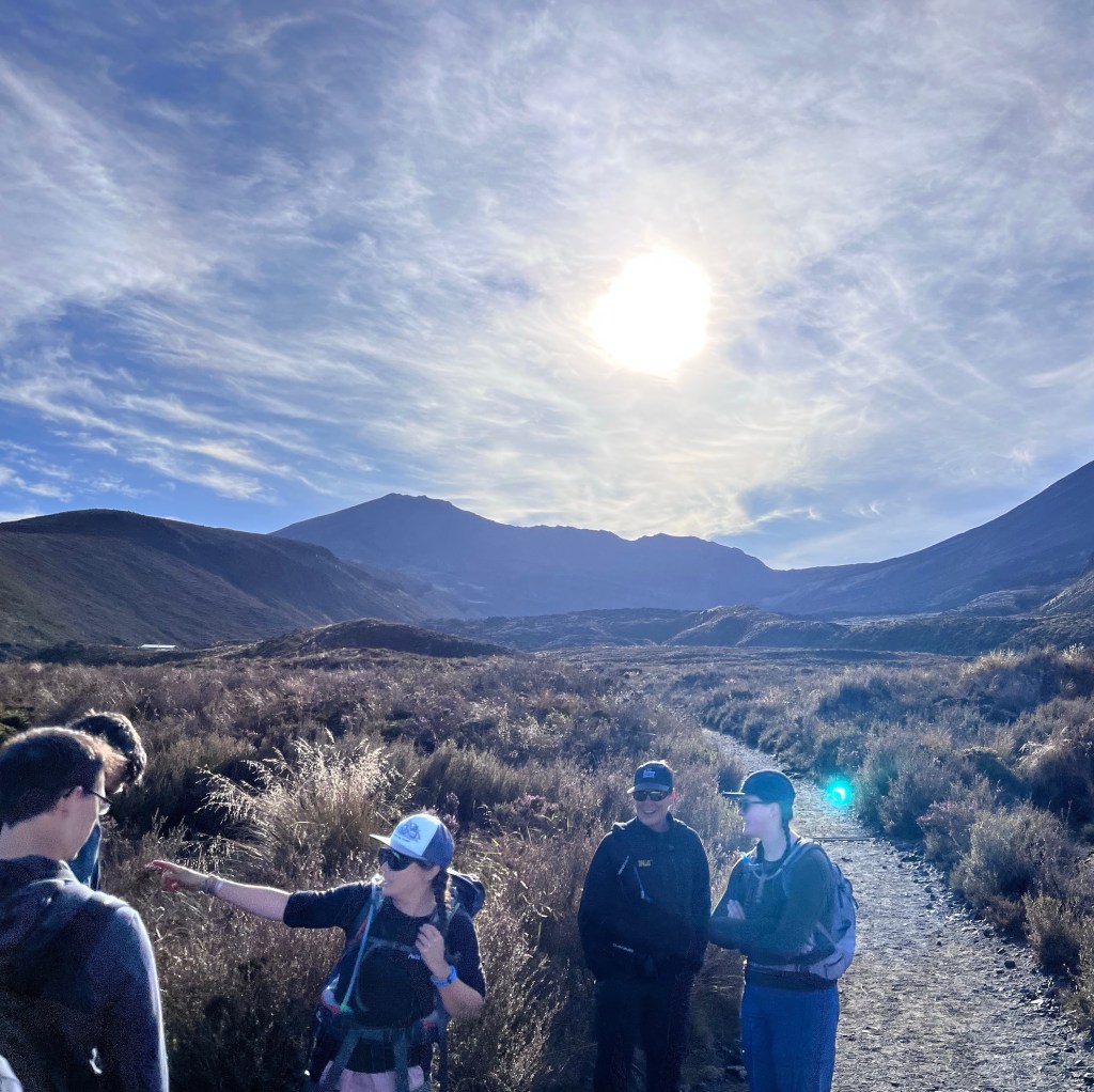
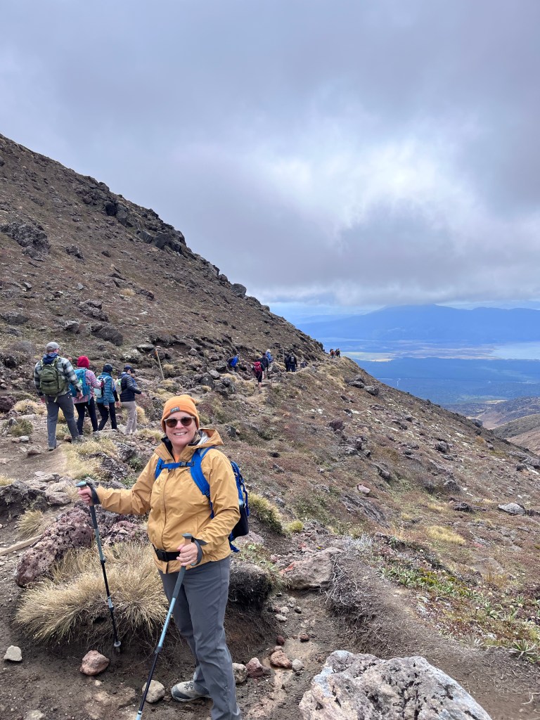
The first 5km was a fairly gradual ascent with fabulous and intimidating views of Mount Tongariro and Mount Ngauruhoe.


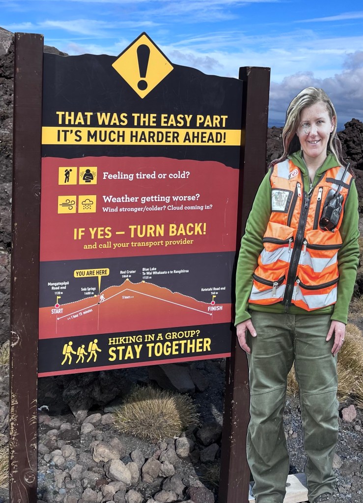
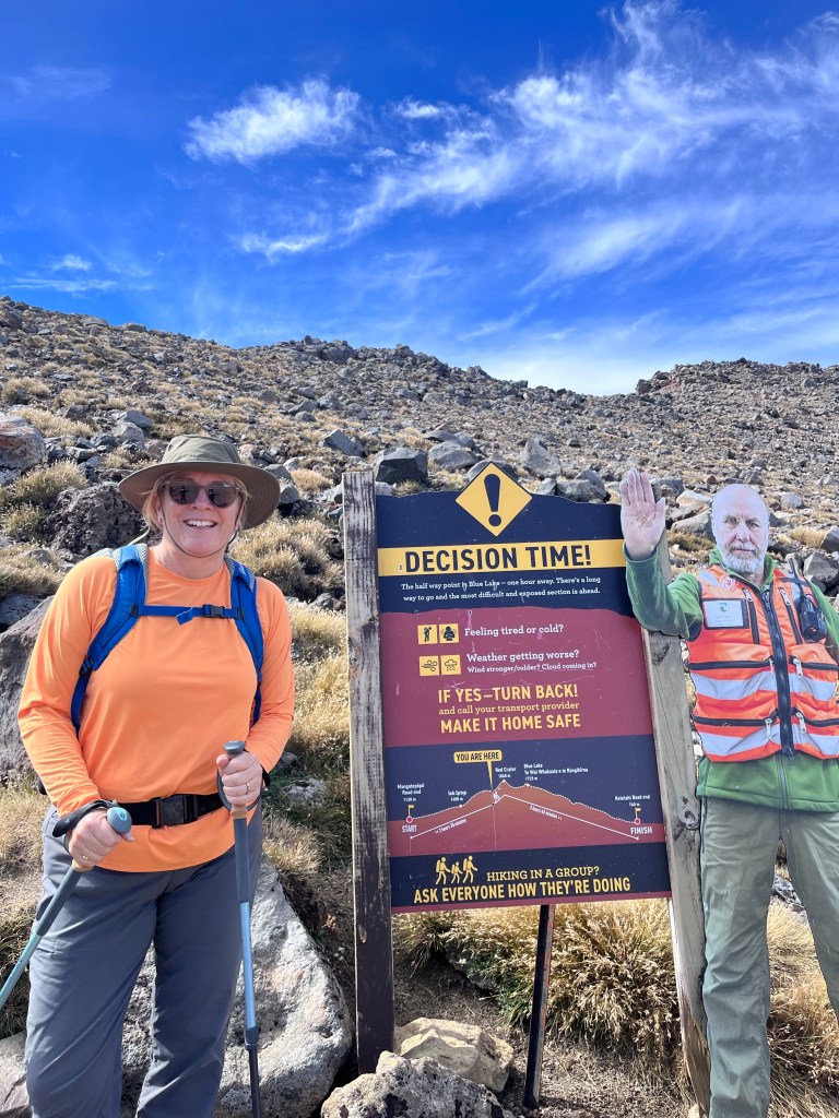
The real work started after the 5km mark with serious vertical ascents. They go to a real effort to give ample opportunity to back out. Pete Bomben will appreciate the “next level” nature of these warning signs!

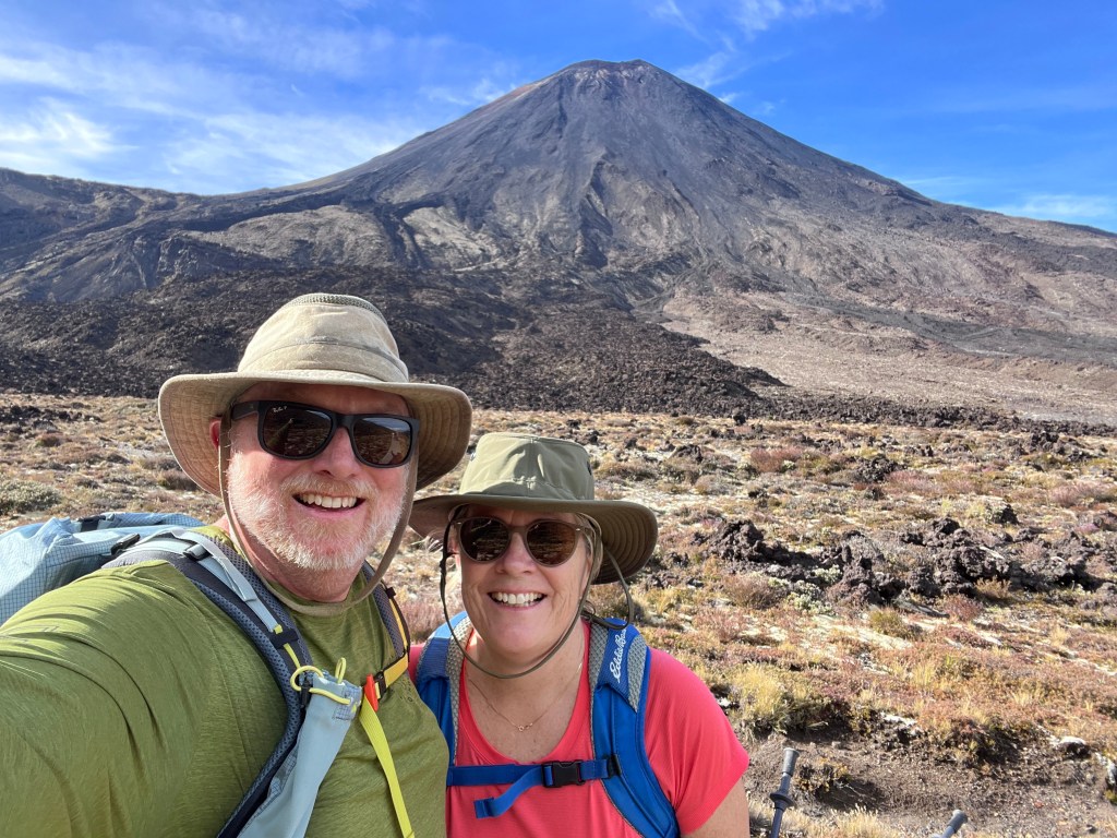
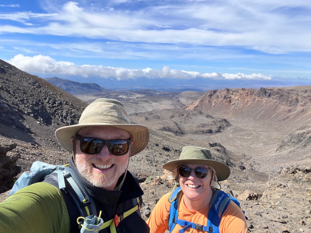
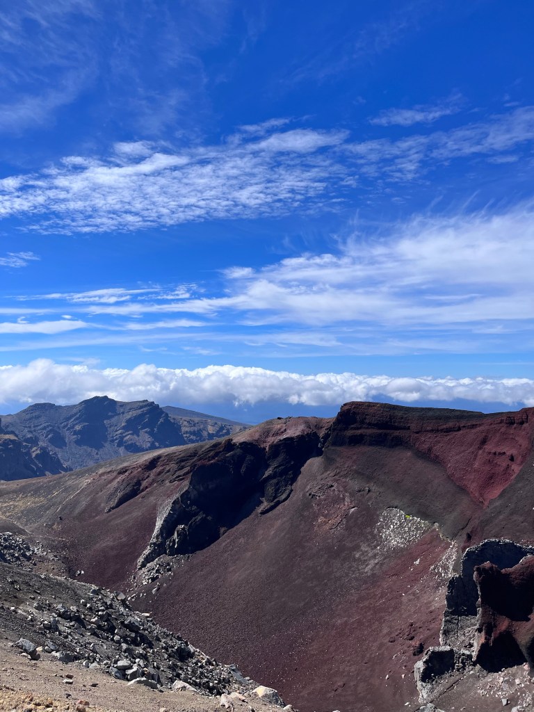
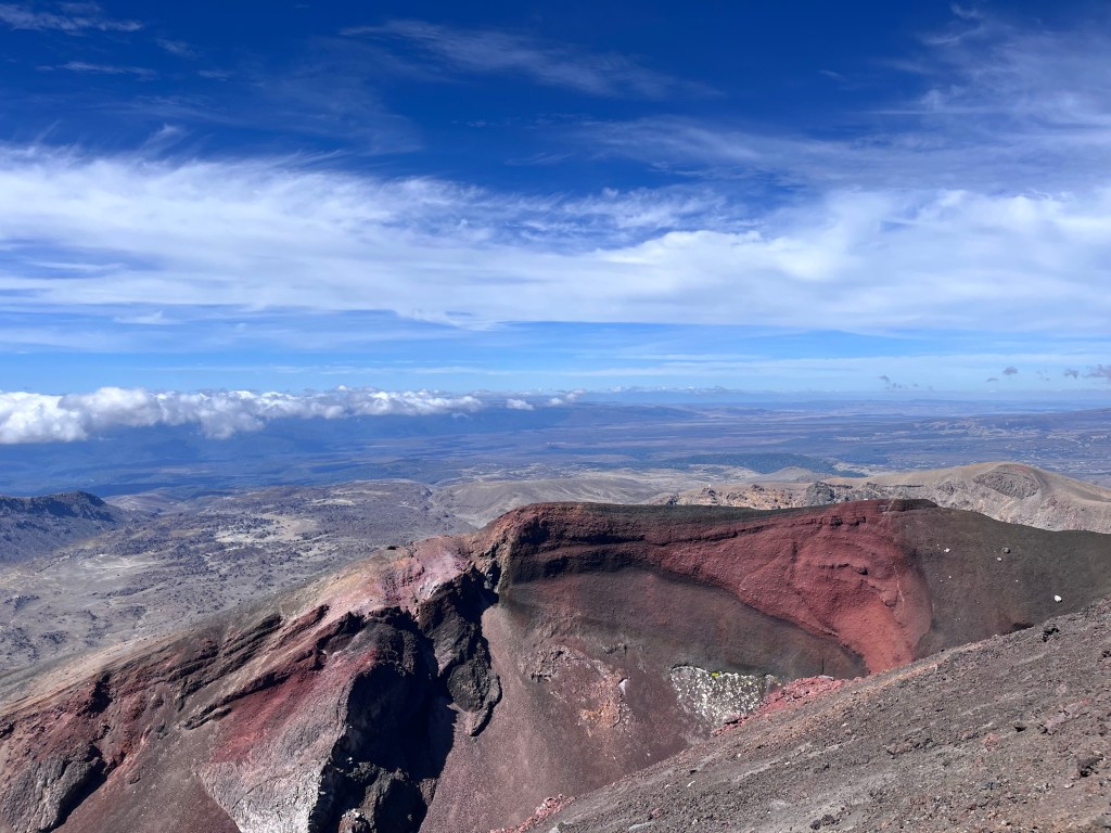
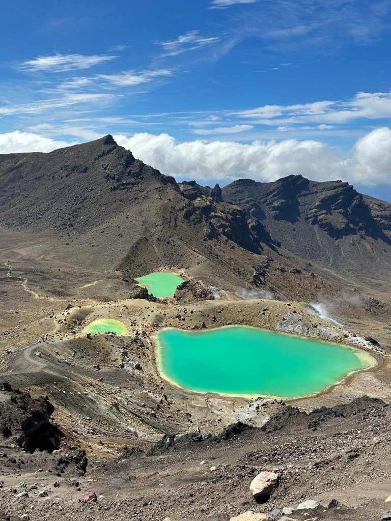
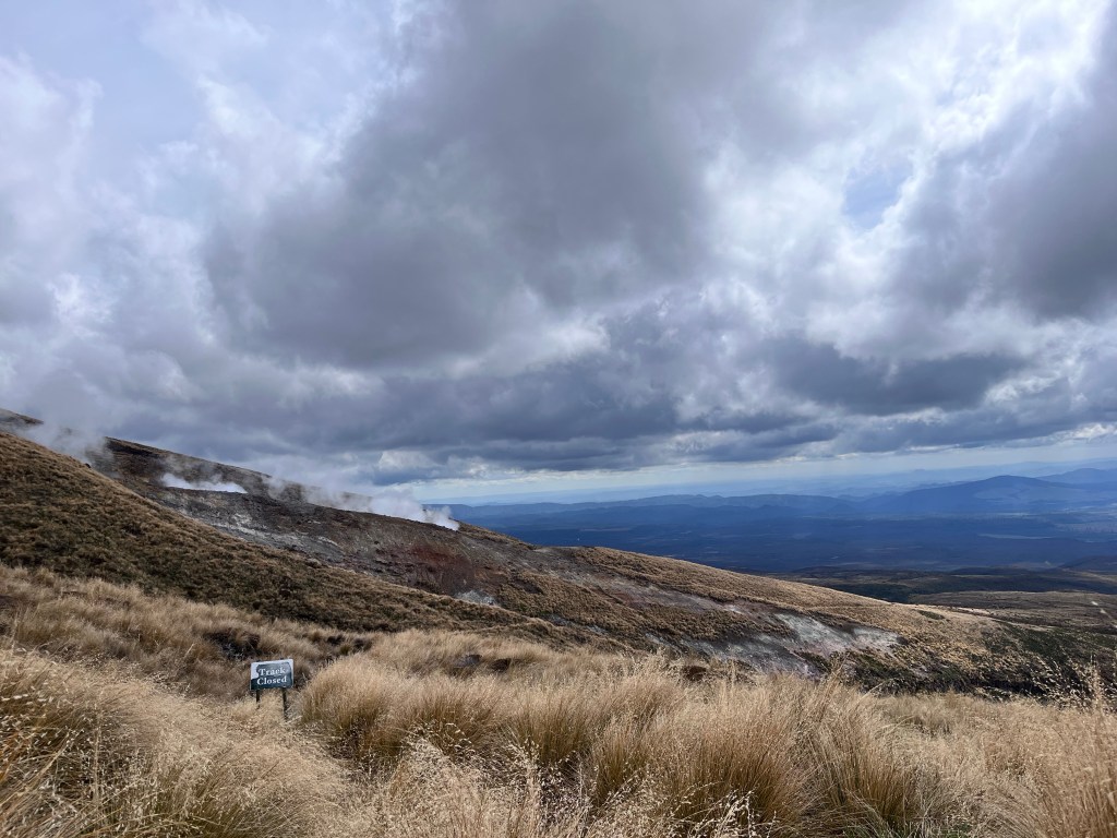
By the time we got to the Red Crater overlooking Mount Doom we were pretty wiped. But the views were just stunning and more than made up for aches and pains.
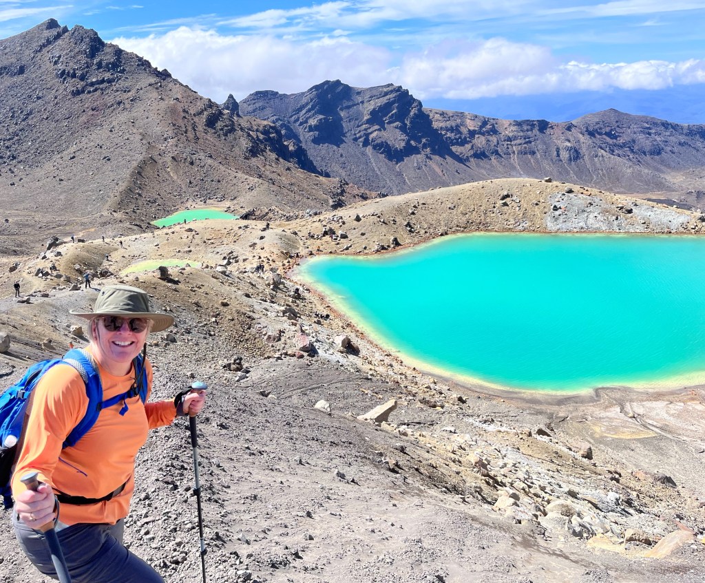
Lunch was about four hours in on the shores of one of the emerald lakes you can see below. It offered impressive views of the massive scree we had to descend to get to the lake.
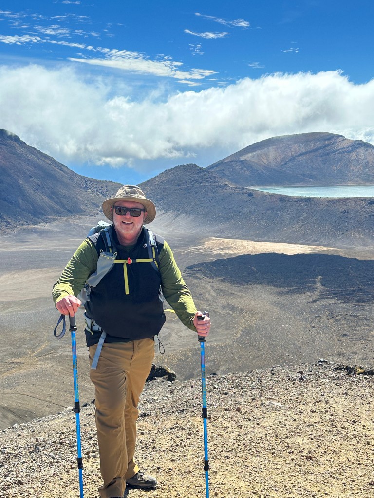
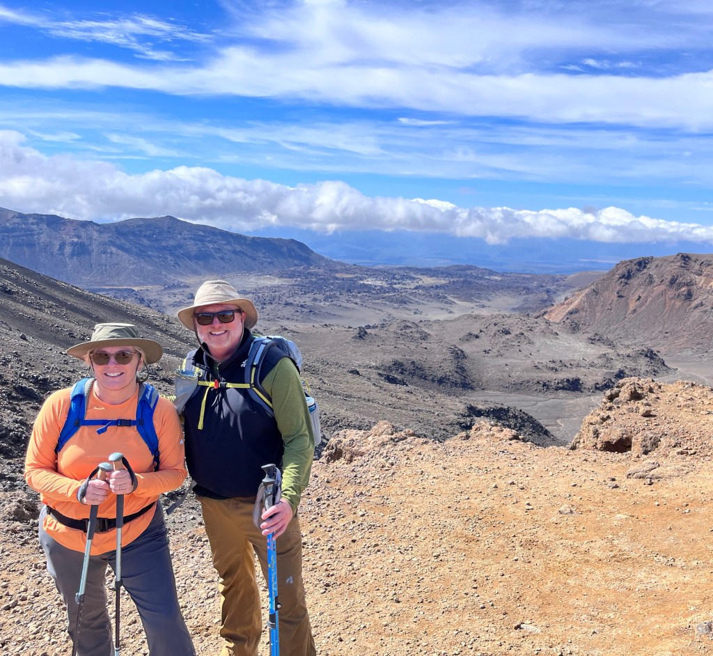
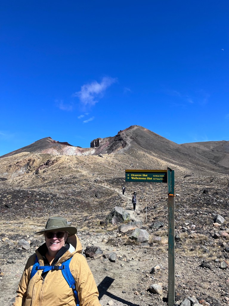
We were at about the halfway point in terms of time but a little under half in terms of distance. We had one more hour of mostly uphill climbing to do before we began to descend again back into the valley.


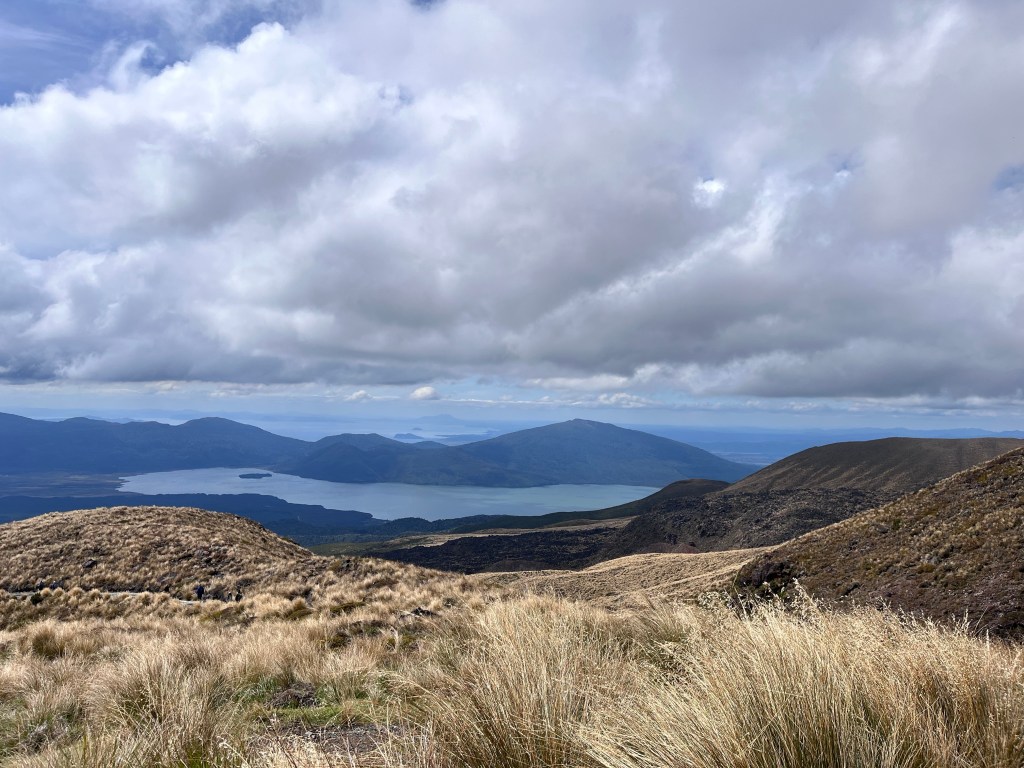
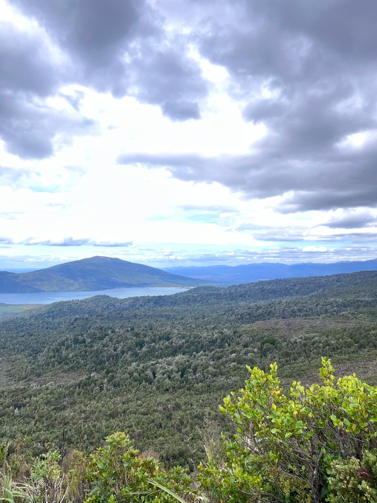
The descent was quite dramatic for an hour or so with beautiful views of the lava hillsides spotted with grasses and brush, and the long view towards Lake Rotoraira with the volcano Te Maari behind it. Te Maari erupted in 2012 sending rock and ash into the area including along the trail. Fortunately it was at night and in the winter so no one was hurt.
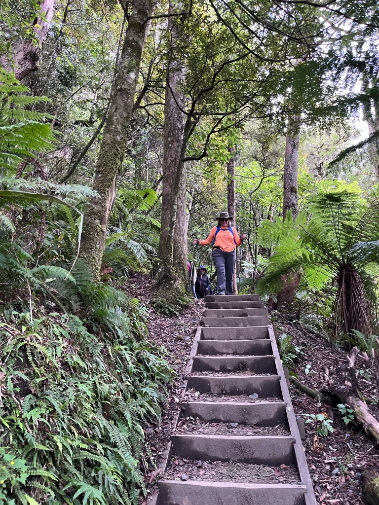
The last 3-4 kilometres were in a densely forested ravine. Lots of green, mountain streams and waterfalls, and a group of hikers a little too tired to appreciate it!

All in all an absolutely fabulous adventure. Friday is a travel day to Wellington and an early night before we take the 3 1/2 hour ferry across the Cook Strait to the South Island on Saturday. First stop is Blenheim and Marlborough Wine Country!

Leave a reply to Darren Cancel reply