New Zealand sits astride two great tectonic plates: the Pacific and the Australian. The North Island and some of the South sits on the latter while most of the South Island sits on the former. As the plates push and slide, New Zealand has one of the most “active” geologies in the world, so much so that it once had the nickname, “The Shaky Isles”.
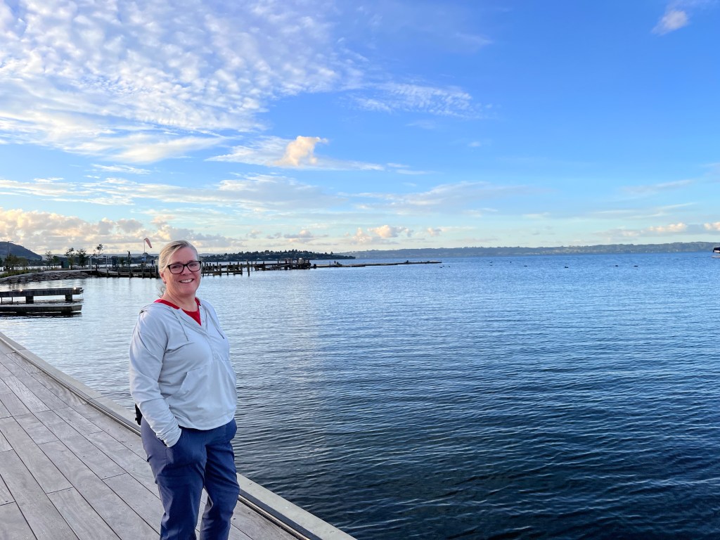
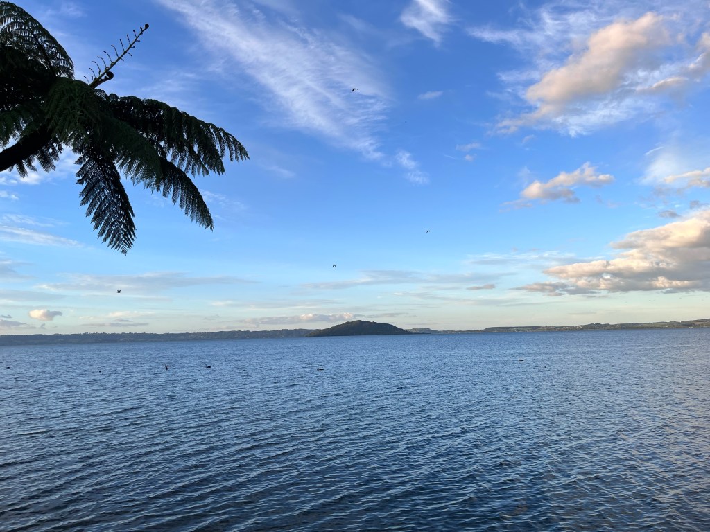
Rotorua, or “Sulpher City”, is the place to go to see the surface manifestations of all that tectonic activity. The town is by the shores of Lake Rotorua which is a bubbling (and in places boiling) centre of geothermal activity.
Today Māori make up about a quarter of the local population but have a huge economic, political and cultural influence on the area. They are a farming and tourist powerhouse, managing huge dairy and sheep herds and sharing their cultural heritage with visitors. The role of “guide” in Māori culture is of enormous significance: they are the original and ongoing tourism “guides” in this area.
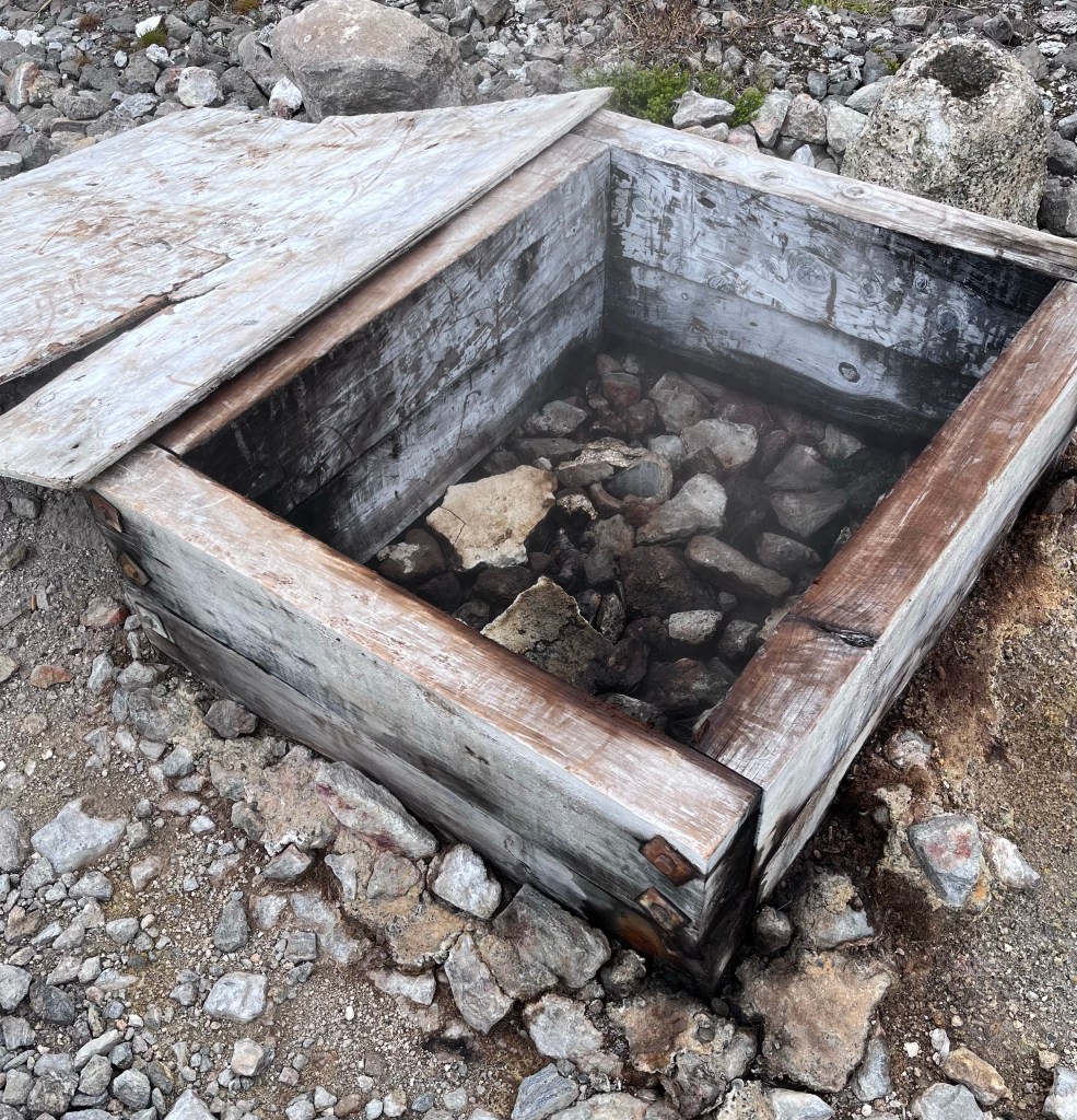
This area is very important culturally and practically to Māori who used the hot springs for bathing and cooking. Early European settlers lauded the healing properties of the springs and it remains a destination for people who want to seek out their supposed regenerative properties.
The Taupo Volcanic Zone
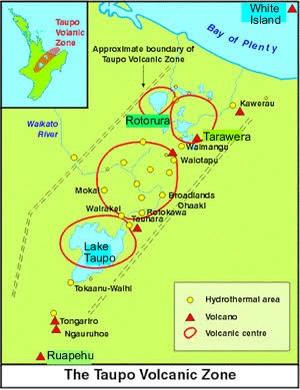
So it turns out we are in one of the most active volcanic zones in the world. The Taupo Volcanic Zone stretches for over 350 km from White Island (the scene of a horrible tragedy in 2019 involving an unexpected volcanic eruption) to Ruspehu. The zone is named after Lake Taupo which, like Lake Rotorua, sits in a giant caldera. These are both geothermally active and would, if they erupted again, have global impacts. As you look at the pictures and video below you will see why this came to mind as we toured this area.
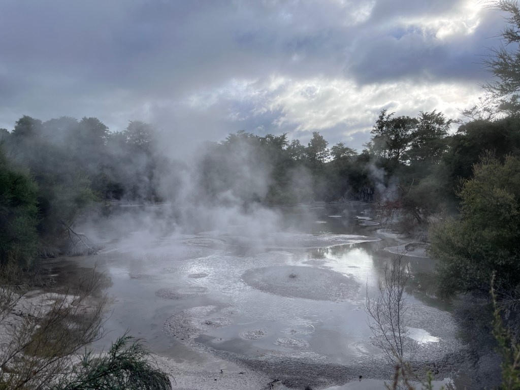
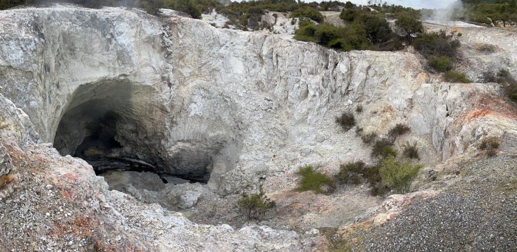
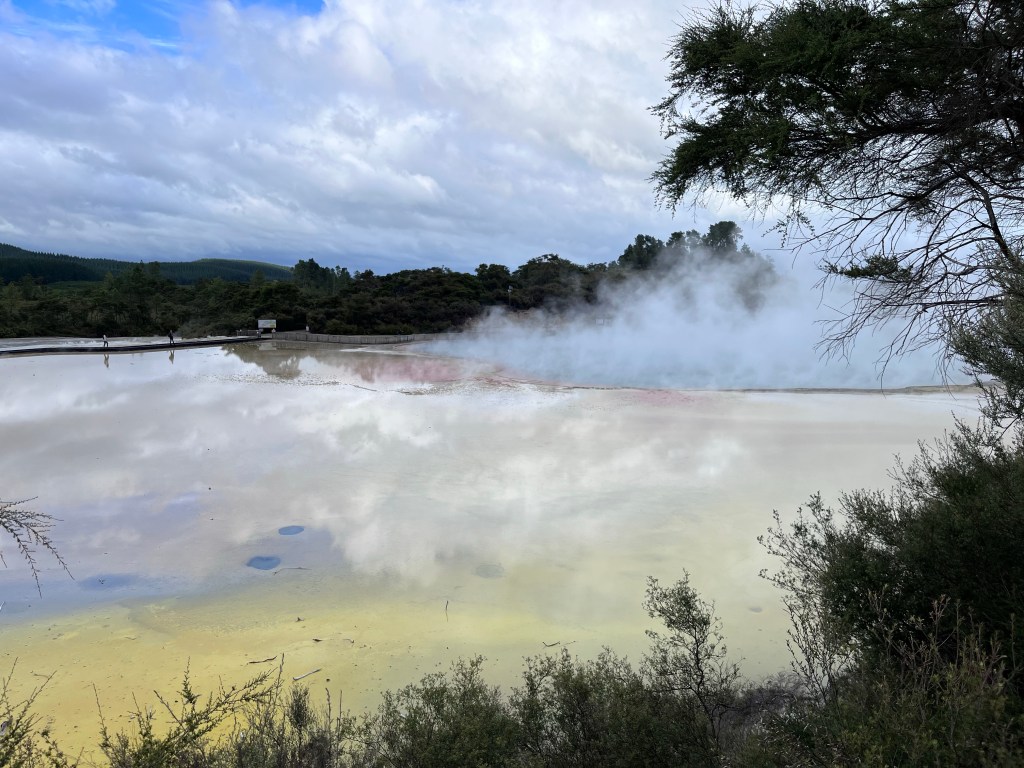
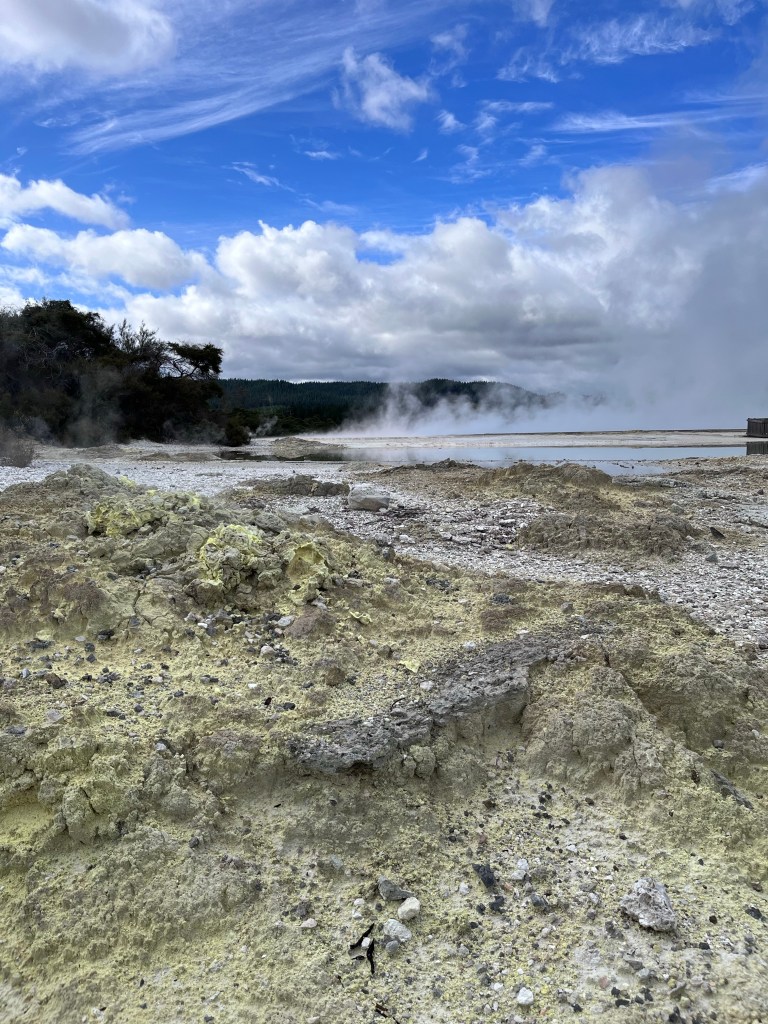
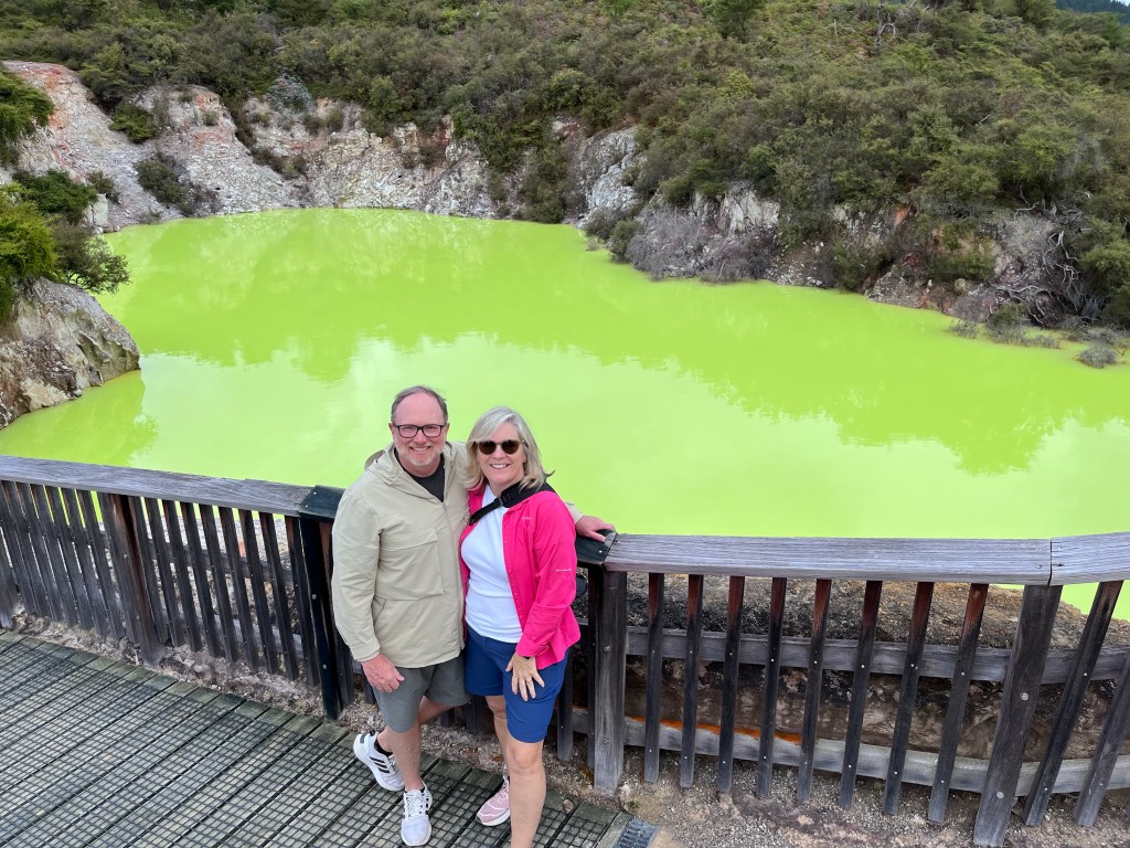
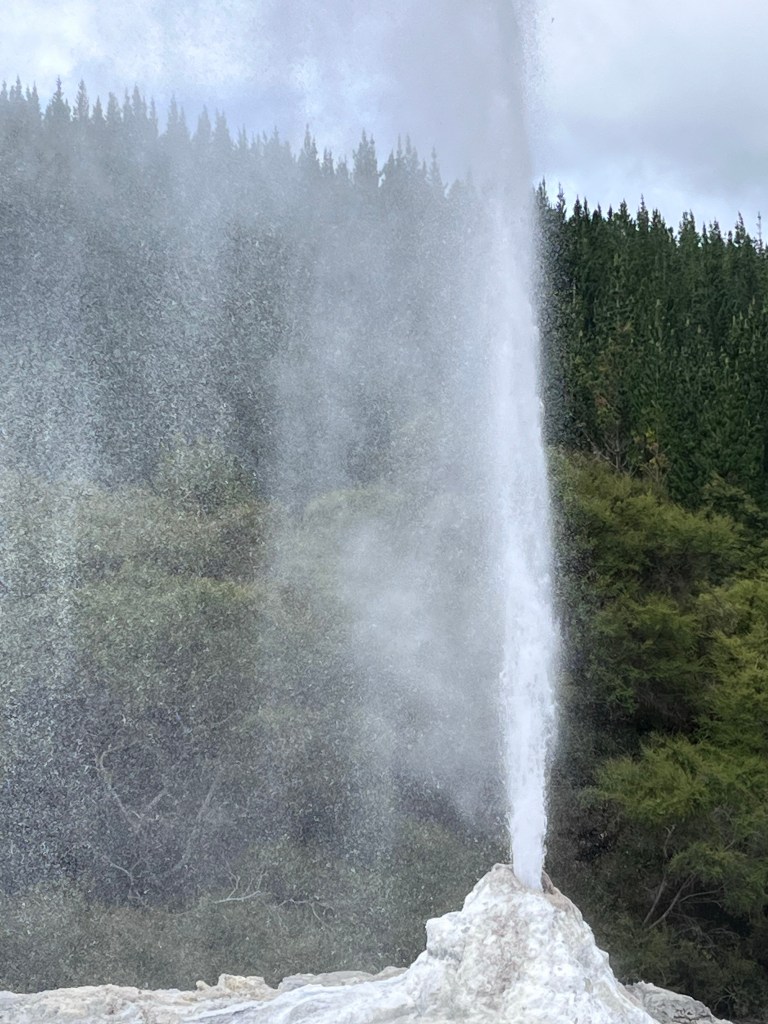
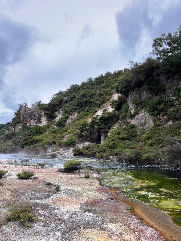
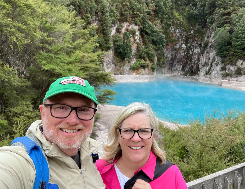
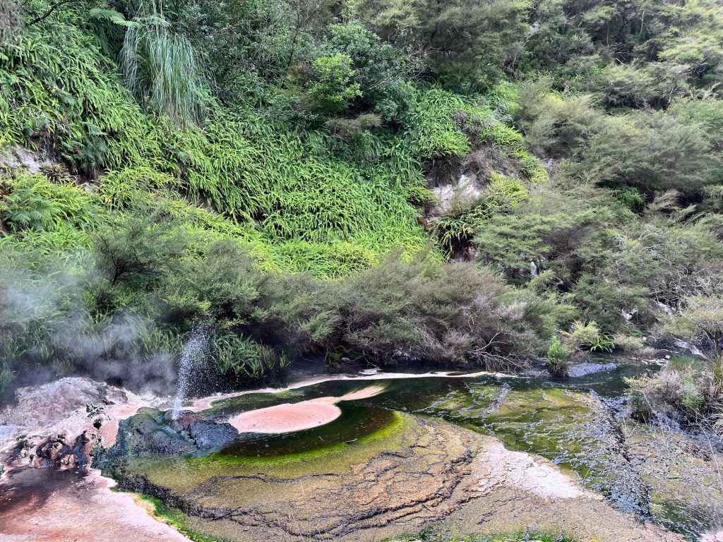
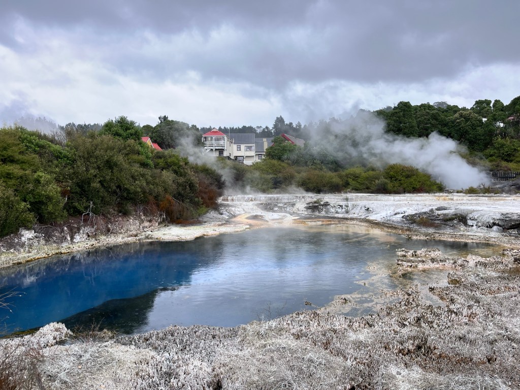
Wai-o-Tapu
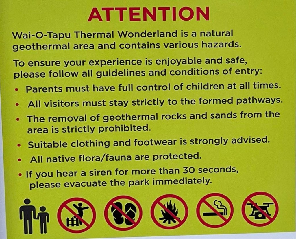
This thermal area is accessible to the public and consists of about 18 sq km, making it the largest active thermal area in the region. Much of the surface is very fragile and susceptible to collapse: craters and fissures are everywhere. the warning signs and evacuation areas are clearly posted. This is no joke, particularly after 2019. Seismic monitors are everywhere. In fact many Kiwis download an app to their cell phone which alerts them to earthquakes. You can set it to send an alert on low, medium and high earthquake settings.
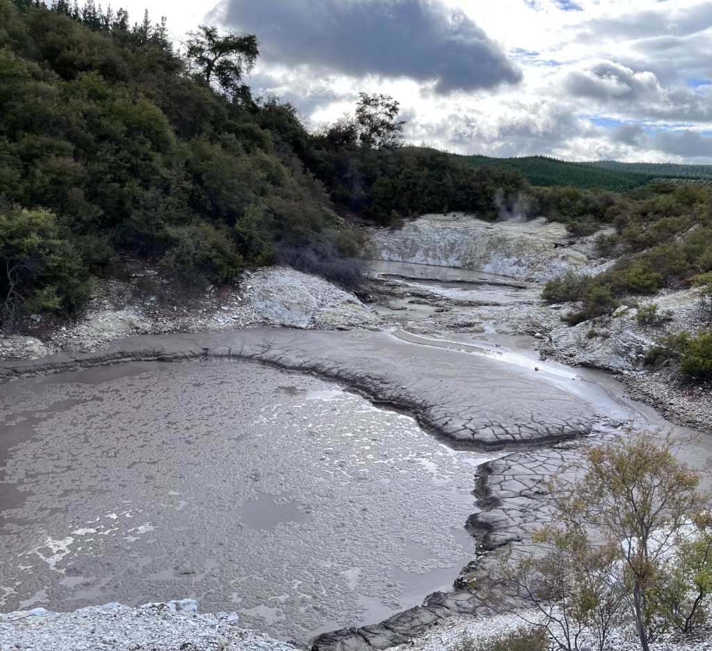
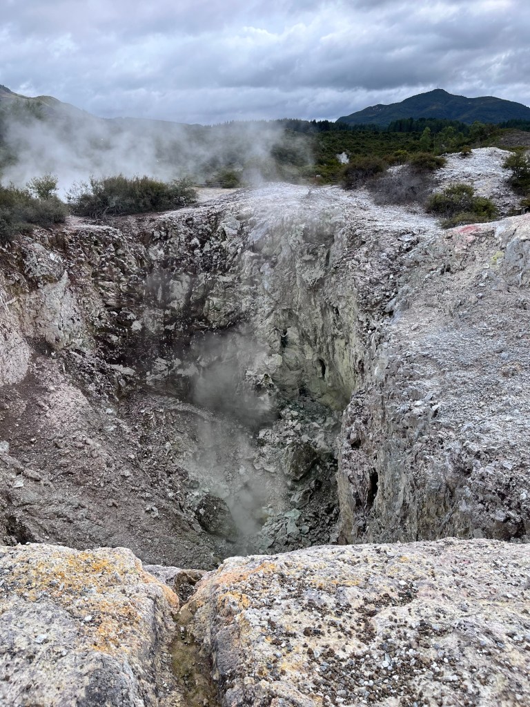
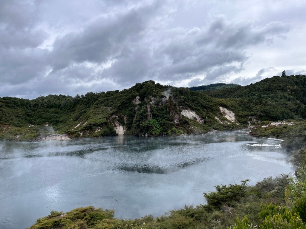
Waimangu Volcanic Valley
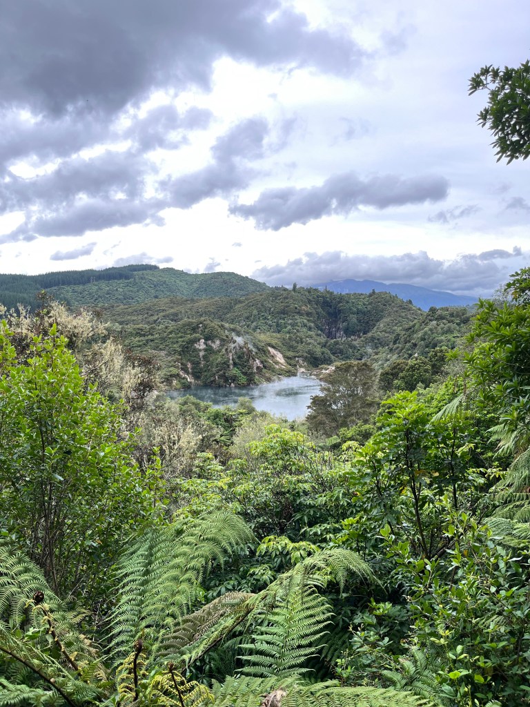
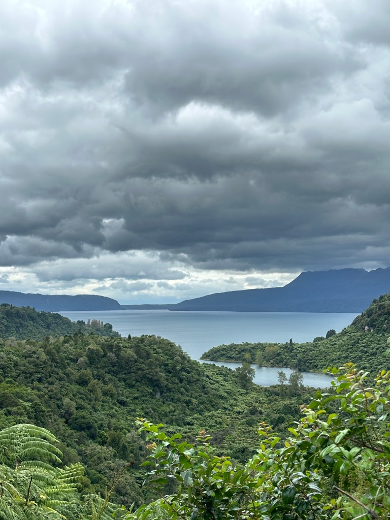
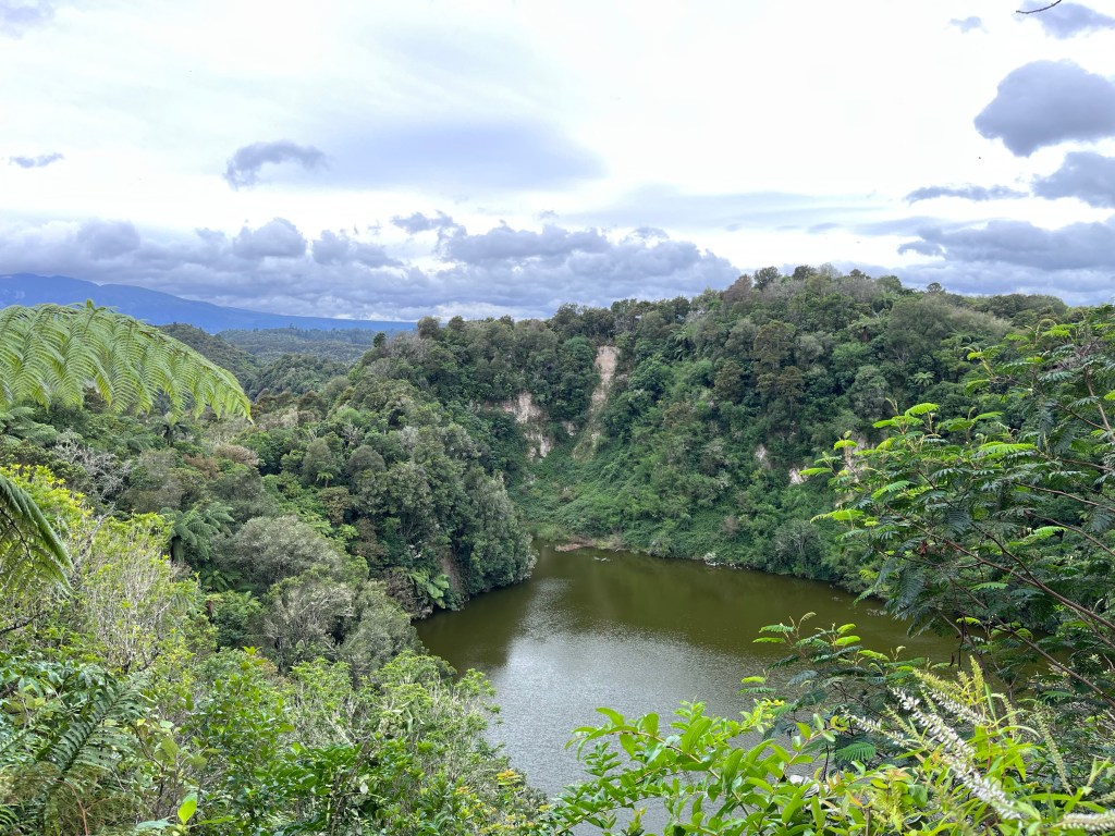
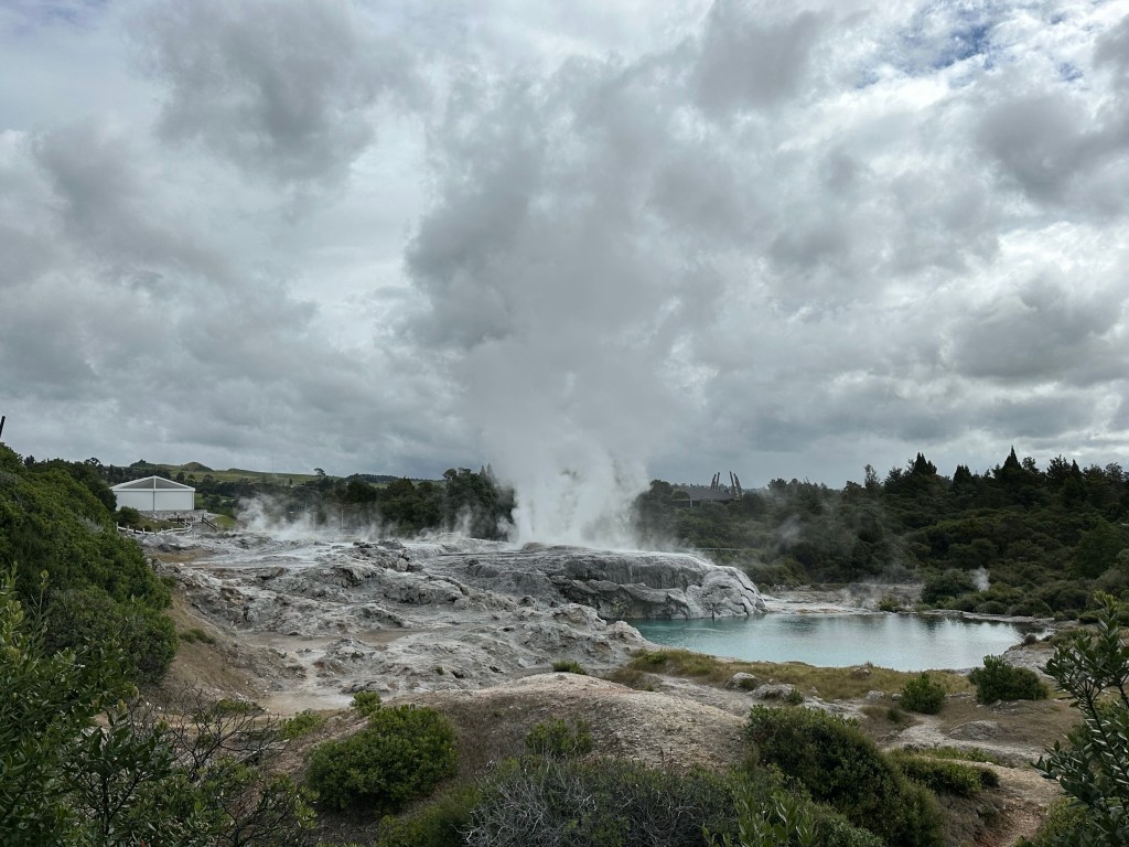
The Waimangu Volcanic Valley is fascinating. It is one of the newest geothermal regions on earth as the valley itself was only formed after the eruption of the Tarawera Volcano in 1886. The land split into a 17km valley. Over 22 craters exploded in the eruption devastating all forms of life in the area and forming Lake Rotomahana and Lake Tarawera.
Over time, vegetation and new life returned to the valley. Looking at the picture below you would never imagine that this area was a wasteland 150 years ago.
Whakarnewarewa – The Living Māori Village
So the full name of the village is actually Te Whakarnewarewtangaoteopetauaawahiao, named for the war parties of a famous Māori chief who avenged the killing of his father. It was shortened to Whakarnewarewa and is often referred to simply as Whaka.
Our guide Phillip was fantastic and filled us in on the history of the village, the incredible importance attached to the role of guide in Māori culture, and the various properties and uses of the many geothermal features in the community.

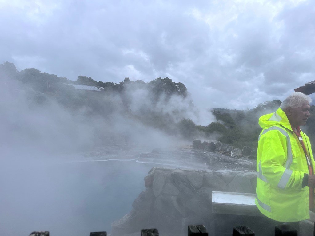
Once again we were reminded of how volatile the earth is here. At times you could feel the heat warming the pathways that we walked. They were warm to the touch.
Forests
When you arrive at a lookout in this area you are struck by the density of the forested areas. There is lots of new growth due to the forestry industry and the recovery from the 1886 eruptions, but it feels much more established.
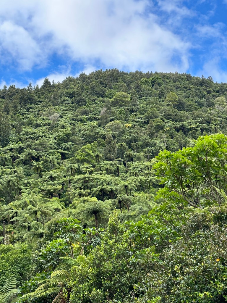
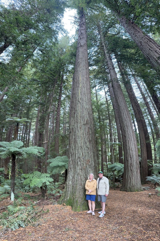
New Zealand has three primary industries: farming, tourism and forestry. In this area there are huge tree plantations many planted with Oregon Pine, the primary market for which is China. The landscape is very reminiscent of parts of British Columbia. The standouts are definitely the giant redwoods planted in 1901, many of which are over 100m high.


Leave a reply to James Cancel reply